EasyManua.ls Logo

Garmin eTrex Venture HC User Manual

Garmin eTrex Venture HC
23 pages
To Next Page IconTo Next Page
Page #1 background imageLoading...
Page #1 background image
GPS Tutorial: Basic Applications
Garmin models covered
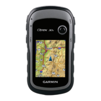
1. eTrex Legend
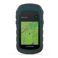
2. eTrex Venture HC
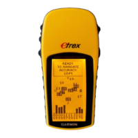
3. eTrex High Sensitivity
Question and Answer IconNeed help?

Do you have a question about the Garmin eTrex Venture HC and is the answer not in the manual?

Garmin eTrex Venture HC Specifications

General IconGeneral
Outdoor (hiking, trekking)Yes
Marine (chartplotters, sounders)No
Routes quantity50
Tracks quantity10
Number of waypoints500
InterfaceUSB
Display resolution176 x 220 pixels
Display size (HxV) (imperial)1.7 x 1.3 \
Map storageInternal storage
Battery life (max)14 h
Weight and Dimensions IconWeight and Dimensions
Depth30 mm
Width107 mm
Height56 mm

Summary

Understanding Coordinate Systems

Coordinate System Basics

A reference system to locate points on Earth, enabling common communication.

Geographic vs. Projected Systems

Geographic systems are spherical (lat/lon), projected are flat (e.g., UTMs).

Coordinate System Types and Examples

Garmin eTrex Main Screen Functions

Navigating Menus and Selecting Options

eTrex Legend Navigation

Utilizes a toggle button for moving through lists and selecting items.

eTrex HC Navigation

Uses up/down arrows for selection and an enter button to confirm.

Configuring Coordinate System Settings

Adding Waypoints by Manual Coordinates

Saving Current Location as a Waypoint

Finding and Navigating to Waypoints (Part 1)

Navigating to Waypoints (Part 2)

Essential GPS Usage Tips

Garmin eTrex HS Button Layout

HS Model: Setting Coordinate Systems

HS Model: Adding Waypoints by Coordinates

HS Model: Saving Current Location as Waypoint

HS Model: Navigating to a Waypoint

Garmin eTrex Legend Button Functions

Advanced GPS Data Management

Related product manuals