Do you have a question about the Garmin eTrex Vista C and is the answer not in the manual?
Overview of the manual's sections, license agreement, and regulatory details.
Essential safety guidelines for device operation and vehicle use.
How to install batteries and power on the device.
Description of main buttons and their operations.
Overview of physical ports and mounting options.
Acquiring satellite signals and understanding main navigation pages.
Introduction to navigation methods and page flow.
Explanation of status bar, backlight, and on-screen messages.
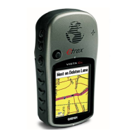
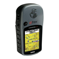
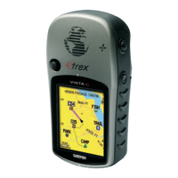
Using the map display for location, data fields, and various options.
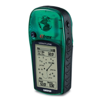
Using the compass for direction, heading, and calibration.
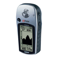
Tracking elevation, travel data, and managing saved locations.
Searching for cities, addresses, POIs, and creating routes.
Managing movement trails, retracing paths, and highway guidance.
Customizing system, display, tones, map, routing, time, and units.
Utilizing calendar, celestial data, fishing/hunting predictions, and games.
Details on accessories, device specs, and data field definitions.
Connecting to PC, transferring maps, and understanding coordinate formats.
Time zone offsets, WAAS/DGPS info, and document index.
Information regarding the product's warranty coverage.
| Sport (fitness, running) | No |
|---|---|
| Marine (chartplotters, sounders) | Yes |
| Tracks quantity | 20 |
| Number of waypoints | 500 |
| Interface | USB |
| GPS receiver | 12 |
| Maximum depth | 607 m |
| GPS accuracy - position | 15 m |
| GPS accuracy - velocity | 0.05 m/s |
| Form factor | Fixed |
| Product color | Gray |
| Display resolution | 176 x 220 pixels |
| Display size (HxV) (imperial) | 1.7 x 1.3 \ |
| Battery type | AA |
| Battery life (max) | 20 h |
| Number of batteries supported | 2 |
| Operating temperature (T-T) | -15 - 70 °C |
| Depth | 30.5 mm |
|---|---|
| Width | 56 mm |
| Height | 107 mm |
| Weight | 150 g |