Do you have a question about the Garmin ETREX 22X and is the answer not in the manual?
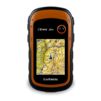
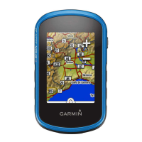
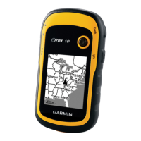
General description of device parts and controls.
Battery types, installation, and tips for maximizing battery life.
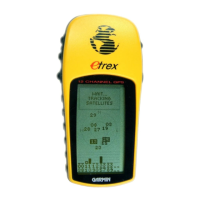
Turning on the device, acquiring satellite signals, and accessing menus.
Saving, editing, and managing specific locations (waypoints).
Creating, navigating, and managing paths between locations.
Recording, saving, and viewing movement history as tracks.
Searching for street addresses and navigating to destinations.
Adjusting map view, orientation, and display settings.
Using and calibrating the device's compass for direction.
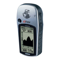
Displaying elevation data and calibrating the barometric altimeter.
Adjusting screen brightness and customizing main menu items.
Changing page order and customizing data displays.
Customizing data fields and visual appearance settings.
Setting GPS, language, and battery type configurations.
Customizing audible alerts and measurement units.
Setting time and coordinate system formats.
Configuring route calculation and altimeter features.
Software updates, device registration, and Garmin Express setup.
Proper cleaning, maintenance, and water resistance information.
Installing memory cards and transferring files to the device.
Resolving device issues by restarting or resetting configurations.
Obtaining help, FAQs, and customer support information.
| Built-in display | Yes |
|---|---|
| Display diagonal | 2.2 \ |
| Display resolution | 240 x 320 pixels |
| Display size (HxV) | 35 x 44 mm |
| Display technology | TFT |
| Display number of colors | 65536 colors |
| RAM capacity | 8000 MB |
| Tracks quantity | 10000 |
| Storage media type | - |
| Number of waypoints | 2000 |
| Compatible memory cards | MicroSD (TransFlash) |
| Built-in memory capacity | 8 GB |
| Number of tracklog points | 200 |
| Cables included | USB |
| Purpose | Personal |
| Product type | GPS tracker |
| Product color | Black, Grey |
| Pre-installed maps | TopoActive Europe |
| Protection features | Water resistant |
| International Protection (IP) code | IPX7 |
| Battery life (max) | 25 h |
| Number of batteries supported | 2 |
| USB connector type | Mini-USB |
| Mini-USB 2.0 ports quantity | 1 |
| Battery type | AA |
| Form factor | Handheld |
| Depth | 103 mm |
|---|---|
| Width | 54 mm |
| Height | 33 mm |
| Weight | 141.7 g |