


T
Taylor EllisJul 26, 2025
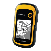
How to reset a Garmin GPS device that is not responding?
- RRichard MartinJul 26, 2025
If your Garmin GPS device is not responding, you can try resetting it by removing and reinstalling the batteries. Note that this will not erase any of your data or settings.