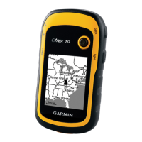
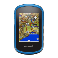
Using the Garmin
eTrex 10 GPS
GPS stands for Global Positioning
System.
The global positioning system is a
global system of U.S. navigational sat-
ellites developed to provide precise
positional and velocity data for air,
sea, and land travel.
It consists of 28 satellites orbiting
Earth at about 14, 000 miles high and
traveling approximately 18,000 mph.
The GPS receiver receives radio sig-
nals from the 28 satellites.
From the radio signals, it determines
your location on Earth. The GPS
receiver measures the time it takes
the radio waves to go from at least 3
satellites to your receiver.
GPS
Background Information
TH E EL E ME NT ARY SC IE NC E PR O GR A M
MO NR O E 2 OR LE A NS B O C ES
www.garmin.com
If you have any questions about the use of
the eTrex 10 GPS device or are having
difficulty using it, please contact the
Elementary Science Program at:
585-352-1140 or 1-800-832-8011
www.espsciencetime.org
aquinn@monroe2boces.org
**Available to schools in
Monroe County only.
ESP couriers deliver and pick up the
equipment.