Do you have a question about the Garmin eTrex eTrex and is the answer not in the manual?
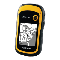
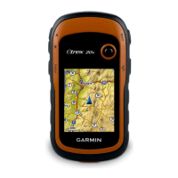
Learn basic operation and screen conventions for quick navigation.
Adjust screen contrast and backlight for better visibility.
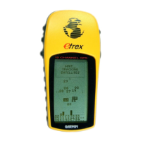
Understand the Satellite Page displays and its Normal/Advanced Skyview options.
Mark your current location as a waypoint to return to it later.
Use GOTO feature and Navigation Page for direct line guidance to a destination.
Understand how the arrow on the Navigation Page indicates direction to follow.
Learn how to change waypoint symbol, name, elevation, and location.
Edit the waypoint's latitude and longitude coordinates.
Remove a specific waypoint from the device's memory.
Initiate navigation to a selected waypoint.
Start navigation along a defined route.
Save recorded track logs for future use and navigation.
Navigate back along a saved track log.
Activate Battery Save mode to conserve power by cycling GPS on/off.
Troubleshoot issues with receiving satellite signals and finding location.
Steps to troubleshoot if the device fails to power on.
Address slow GPS location acquisition issues.
| Display resolution | 128 x 160 pixels |
|---|---|
| Battery | 2 AA batteries (not included) |
| Water rating | IPX7 |
| GPS Receiver | High-sensitivity |
| Interface | USB |
| Weight | 5 oz (141.7 g) with batteries |
| Track log | 10, 000 points |