Gocator Line Profile Sensors: User Manual
Tools and Native Drivers • 578
The MountainsMap transfer tool is available in the GOTools package (14405-x.x.x.x_SOFTWARE_GO_
Tools.zip). To get the package, go to http://lmi3d.com/support, choose your product from the Product
Downloads section, and download it from the Download Center.
Configuring Gocator to Work with the Transfer Tool
In order for scan data to be available for transfer, you must first configure the Gocator sensor.
To configure a sensor:
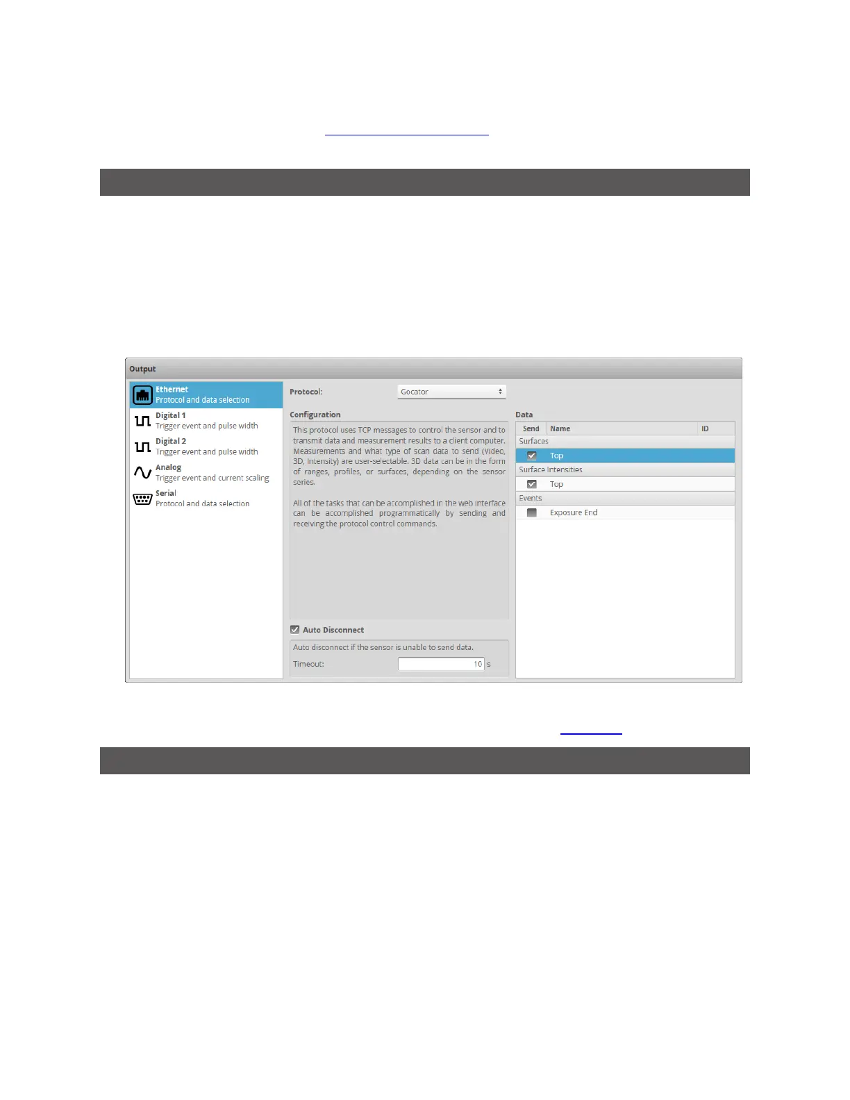
1. In the Gocator web interface, go to the Output tab.
2. In the Ethernet category, set Protocol to Gocator.
3. In the Data area of the panel, make sure a source for Surface data is checked under Surfaces.
By default, a source for Surface data is already selected.
4. (Optional) If you want to transfer intensity data, check a source for intensity data under Surface Intensities.
For intensity to be available, you must also check Acquire Intensity on the Scan page.
Using the Mountains Map Transfer Tool
The following graphic and table show the functionalities available in the tool:
 Loading...