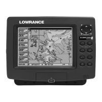
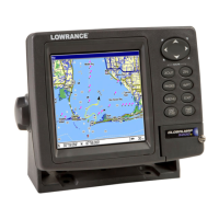
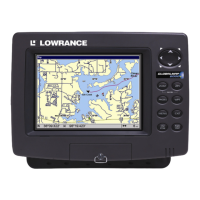
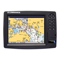
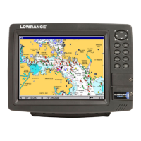
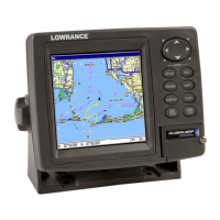
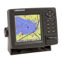
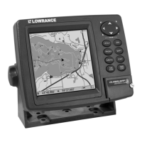
Do you have a question about the Lowrance GlobalMap 1600 and is the answer not in the manual?
Covers unit mounting, power, and cable connections for safe installation.
Covers GPS antenna and transducer installation procedures, including mounting and location.
Explains the development and basic principles of the Global Positioning System (GPS).
Explains Selective Availability (SA) and Differential GPS (DGPS) for enhanced accuracy.
Describes the unit's keys, main operating modes, and satellite status screen.
Details auto search, manual initialization, and position acquisition processes.
Overviews of navigation screens, CDI, map functionality, and cursor usage.
Covers map setup, orientation, details, trails, and icons for personalized display.
Covers MapSelect CD databases, installation, and transferring maps to the unit.
Explains window groups and how to customize them for data display.
Covers menu navigation, saving, editing, deleting, and moving waypoints.
Techniques for improving accuracy and calculating waypoint locations.
Procedures for navigating to waypoints or cursor positions and cancelling navigation.
Covers creating, naming, adding/removing waypoints, and following routes.
Covers audio, screen, time, units, NMEA, DGPS, com port, and resets.
Covers system info, position formats, datums, map fix, and PCF.
Covers GPS alarms, DGPS messages, and the sun/moon calculator.
Covers using the simulator and setting its starting position.
Covers sonar modes, auto mode, sensitivity, and Grayline.
Covers ASP, range, chart speed, zoom, and Fish ID.
Covers chart display, zone alarms, cursor, digital sonar, and depth alarms.
Covers unit power, stability, signal quality, and noise issues.
Instructions for unit repair, return service, and accessory ordering.
Covers database license terms and product warranty details.
Service contact information for Canadian, International, and U.S.A. customers.
| Display Type | LCD |
|---|---|
| Power Supply | 12V DC |
| Dimensions | 8.5 x 8.5 x 3.5 inches |
| Weight | 3.5 lbs |
| Channels | 12 |
| Routes | 100 |
| Mapping | Yes |
| Waterproof | Yes |
| Map Data | Built-in base map |
| Waypoints | 1000 |
| GPS Receiver | 12-channel |
