Do you have a question about the Lowrance GlobalMap 3200 and is the answer not in the manual?
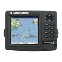
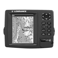
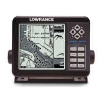
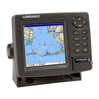
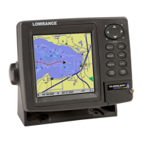
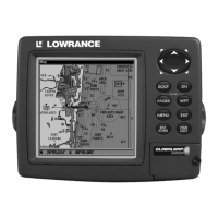
Details the technical specifications and features of the GlobalMap 3200 GPS unit.
Explains the fundamental principles of GPS operation and how the unit receives signals.
Guides users on how to interpret the manual's formatting, keys, and commands.
Covers pre-installation checks, antenna module installation, and cable routing.
Details how to connect the unit's power cable and NMEA/DGPS data cables correctly.
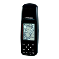
Provides options for mounting the unit, including bracket, in-dash, and portable installations.
Explains how to install memory cards for storing maps, waypoints, and other GPS data.
Lists and describes available accessories that enhance the unit's functionality.
Explains the keyboard, power functions, and how to navigate the main menu.
Details the Satellite Status, Navigation, and Map pages for different operational views.
Provides a quick guide to core operations like finding position, map navigation, and setting waypoints.
Covers creating, navigating trails, MOB function, and route planning.
Explains how to measure distances between locations or points on the map.
Covers adding, deleting, and navigating to custom icons placed on the map.
Details how to create, edit, and navigate pre-defined routes using waypoints.
Provides methods for following trails, including visual trailing and backtrack navigation.
Configure alarms, auto satellite search, and manage MMC storage.
Set up communication ports, coordinate systems, and map fix for positioning.
Customize page displays, check DGPS status, and utilize the GPS simulator.
Control map display options, data layers, datums, and feature categories.
Access and display Navionics charts, port services, and tidal data.
Configure help features, position pinning, reset options, and screen contrast/brightness.
Set language, local time, manage WAAS alarms, and view software version.
Customize sounds, alarms, trails, and units of measure for operation.
Learn to search for addresses, streets, and items using the map cursor.
Guides on locating highway exits and searching for various points of interest.
Covers searching for specific streets, intersections, and saved waypoints.
Lists the various geodetic datums supported by the GPS unit for position referencing.
Provides regulatory compliance information related to FCC rules for the device.
Details how to get service, warranty claims, and contact Lowrance customer support.
Guides on ordering accessories and the process for shipping products for repair or replacement.