Do you have a question about the Lowrance GlobalMap 5150C and is the answer not in the manual?
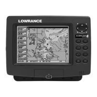
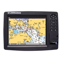
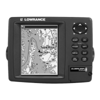
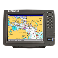
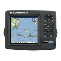
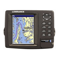
Details the display, resolution, power, and other general specifications of the unit.
Explains the fundamental principles of how the GPS receiver acquires satellite signals and determines position.
Details the Global Positioning System (GPS) and the Wide Area Augmentation System (WAAS) for enhanced accuracy.
Explains text formatting, keystrokes, and menu command conventions used throughout the manual.
Covers initial preparations, antenna/receiver module, power, and NMEA cable connections for installation.
Details bracket installation, in-dash mounting kits, and portable setup for the GPS unit.
Instructions for inserting and using MultiMedia Cards (MMC) and Secure Digital (SD) cards for data storage.
Describes included accessories like a microfiber cleaning towel and a protective face cover.
Details the function of each key on the GPS unit for basic operation and navigation.
Covers turning the unit on/off, adjusting backlight, and accessing the main menu for functions.
Explains how to cycle through the three main page displays: Satellite Status, Navigation, and Map.
A concise, step-by-step guide for common GPS tasks and quick navigation.
Covers finding your current position, moving around the map, zooming, and selecting items using the cursor.
Details how to search for specific locations, addresses, streets, and Points of Interest (POI) on the map.
Explains how to measure distances and create/delete icons on the map for marking locations.
Covers planning, creating, editing, and navigating routes using waypoints.
Details how to delete, update, display, and navigate trails for tracking travel history.
Instructions for copying custom maps and GPS data files between the unit and MMC/SD cards.
Covers setting up various GPS alarms and adjusting screen contrast and brightness.
Allows customization of units for speed, distance, depth, and selection of display language.
Enables practicing navigation using a simulator and initializing GPS settings.
Options for showing map data, pop-up information, map boundaries, and overlays.
Allows selection of coordinate systems (e.g., Lat/Lon, UTM) and map datums for position display.
Configuration for trail update rates, visibility, and smoothing for better trail recording.
Guides on how to search for specific addresses and street names within the unit's database.
Instructions for finding highway exits and available services near them.
Details on searching for various POI categories like lodging, restaurants, and attractions.
Procedures for finding specific streets and identifying intersections between them.
Explains how to find existing waypoints by name or nearest location and navigate to them.
Provides a comprehensive list of geodetic datums supported by the GPS unit for coordinate display.
Details compliance with FCC rules, including conditions for operation and interference.
Outlines the terms and conditions of the limited warranty for the product's databases.
Provides contact information for customer service and technical support in the USA, Canada, and other regions.