Do you have a question about the Lowrance GlobalMap 3600C iGPS and is the answer not in the manual?
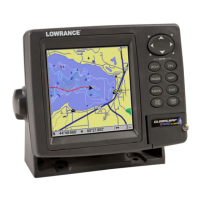
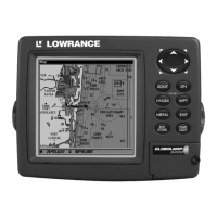
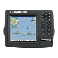
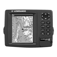
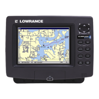
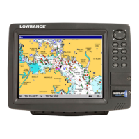
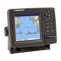
General specifications for the GlobalMap 3600C unit, including display, resolution, and power.
Explanation of how the GPS unit receives signals and calculates position.
Explanation of GPS technology and its development for civilian use.
Explains formatting conventions and structure of the manual for easier navigation.
Steps to prepare before installing the GPS unit, including cable routing.
Details on connecting the unit's power and data cables to various systems.
How to connect the unit to a NMEA 2000 network for sensor data.
Details on connecting the unit for NMEA 0183 data transfer with other devices.
Instructions for mounting the unit using the supplied gimbal bracket or portable options.
Steps for installing MMC or SD cards for data storage and software.
Lists optional accessories like MMC cards, card readers, and software.
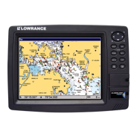
Overview of the unit's keyboard, power, main menu, and page navigation.
Explains the three main Page screens (Status, Navigation, Map) and their basic functions.
Details on map content, detail levels, and window resizing.
A concise, 12-step guide to basic GPS operations and commands.
Finding position, moving around the map, selecting items, and searching.
Defining, creating, saving, and navigating to waypoints.
Creating, saving, displaying, and navigating trails.
How to measure distance from current position or between two map points.
Using icons for map annotation and managing routes for navigation.
Accessing useful tools like alarm clock, calculators, and timers.
How to modify a waypoint's name, symbol, or position.
Configuring unit alarms and NMEA connections/sentences.
Selecting coordinate systems and using map references for position fixing.
Customizing map features, orientation, and data boxes on display pages.
Displaying electronic marine charts from NauticPath and Navionics.
Practicing unit operations using the simulator and initializing GPS positions.
Adjusting screen, language, time, sounds, and resetting unit defaults.
General options for managing and customizing trails.
Setting units for speed, distance, depth, temperature, and heading.
Steps to search for specific addresses, streets, and intersections.
Searching for points of interest like lodging, restaurants, etc.
Searching for saved waypoints by name or proximity.
A list of geodetic datums supported by the GPS unit.
Regulatory compliance information regarding radio frequency emissions.
Terms and conditions for using the GPS databases included with the product.
Details of the product's limited warranty.
Contact information and procedures for obtaining technical support and repairs.
Information on how to order Lowrance GPS accessories.
| Display Size | 5 inches |
|---|---|
| Resolution | 480 x 480 pixels |
| Waterproof Rating | IPX7 |
| Waypoints | 1000 |
| Routes | 100 |
| Power Supply | 10-17 VDC |
| Display Type | TFT |
| GPS Receiver | 12 channel |
| Memory | MMC/SD card slot |
| Operating Temperature | -15°C to 55°C |