80
range rings on the map. This menu lets you select Navionics Maps; for
instructions, see the Navionics Charts entry in this section.
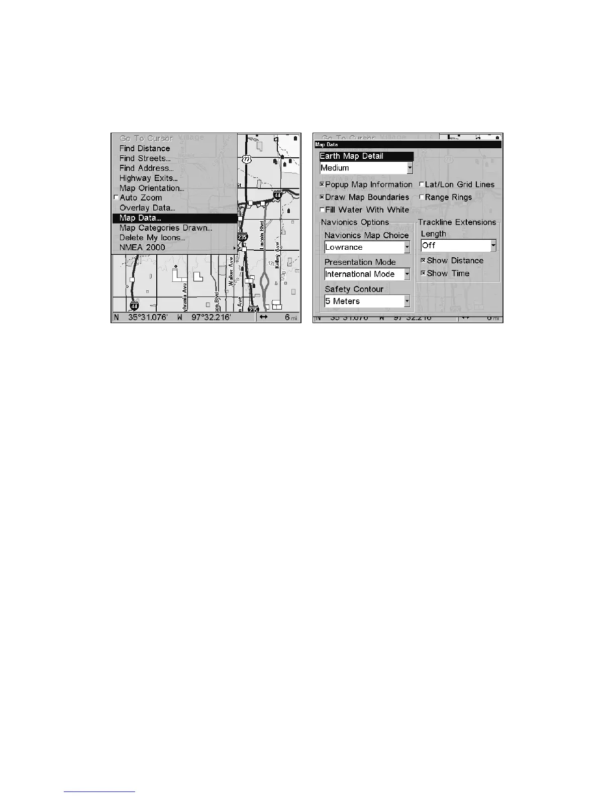
To get to Map Data:
From the Map Page, press
MENU|↓ to MAP DATA|ENT.
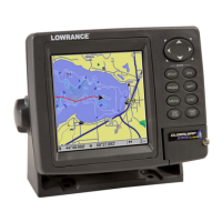
Map Menu (left). Map Data Menu (right).
Show Map Data
From the Map Page, press
MENU|↓ to MAP DATA|ENT. Press ENT to enter
the
EARTH MAP DETAIL selection list, and choose how much detail you
want, from Off (so the unit operates like a GPS plotter) to High. After
the option is set, press
EXIT repeatedly to return to the page display.
Pop-up Map Information
From the Map Page, press
MENU|↓ to MAP DATA|ENT. Press ↓ to POPUP
MAP INFORMATION. With the option highlighted, press ENT to check it (turn
on) and uncheck it (turn off.) After the option is set, press
EXIT|EXIT to
return to the page display.
Map Boundaries
From the Map Page, press
MENU|↓ to MAP DATA|ENT. Press ↓ to DRAW
MAP BOUNDARIES. With the option highlighted, press ENT to check it (turn
on) and uncheck it (turn off.) After the option is set, press
EXIT|EXIT to
return to the page display.
Fill Water With White
From the Map Page, press
MENU|↓ to MAP DATA|ENT. Press ↓ to FILL
WATER WITH WHITE. With the option highlighted, press ENT to check it
(turn on) and uncheck it (turn off.) After the option is set, press
EXIT|EXIT to return to the page display.

 Loading...