Do you have a question about the Lowrance GlobalMap 5200C and is the answer not in the manual?
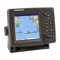
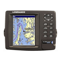
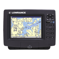
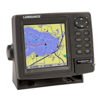
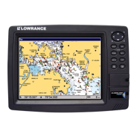
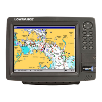
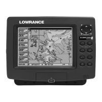
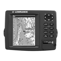
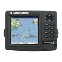
Details the physical and technical specifications of the GlobalMap 5200c unit.
Describes the LGC-3000 GPS module and its installation.
Explains how to connect the unit to a power source using the provided cable.
Details connecting the display unit to a 12-volt DC battery system.
Explains how to power a NMEA 2000 network bus for connected devices.
Describes how to connect devices to the NMEA 2000 network using provided cables.
Details wiring connections for NMEA 0183 communication ports.
Provides options for mounting the GlobalMap unit in various configurations.
Explains how to install MultiMedia or Secure Digital cards for data storage.
Identifies and explains the function of each key on the GlobalMap unit.
Overview of the unit's Main Menu and how to navigate it.
Provides detailed information on satellite lock-on and position acquisition status.
Shows direction of travel, bearing to waypoint, and trail history.
Displays course and track from a bird's-eye view, showing present position.
A 12-step guide to the most basic GPS operations for quick learning.
Explains how the unit automatically finds and displays the current position.
Details how to search for various points of interest, addresses, and locations.
Explains how to create and save electronic "addresses" for locations.
Instructions for saving the current GPS position as a waypoint.
Guides the user on how to navigate to a saved waypoint.
Describes the MOB feature to mark a person overboard location.
Instructions on how to navigate back to the MOB waypoint.
Enables navigation to any location identified by the map cursor.
How to navigate to specific Points of Interest found on the map or through search.
Explains how the unit records the path traveled as a trail.
Details how to create and save routes directly on the unit or via PC software.
Guides on following a pre-programmed route from start to destination.
Creates a waypoint by averaging multiple position readings for accuracy.
Creates a waypoint at a specific distance and bearing from a reference position.
Configures various GPS alarms like arrival, off-course, and anchor alarms.
Enables practice of navigation features without actual GPS signal reception.
Allows floating additional data (time, bearing, speed) on the display.
Allows searching for specific street addresses within the map database.
Locates specific highway exits by name or number.
Searches for various points of interest like lodging, restaurants, and attractions.
Allows searching for specific streets or intersections.
Searches for saved waypoints by name or by proximity.
Configures engine and fuel tank settings for connected devices.
Accesses options for managing fuel data, including tank location and fuel added.
Configures fuel level alarms (Full/Empty) for connected devices.
Guides on configuring EP sensors like temperature, fluid level, and fuel flow.
Configures device name and temperature type for EP-35 sensors.
Calibrates the EP-10 Fuel Flow sensor for accurate fuel usage readings.
Detailed steps for calibrating the EP-10 Fuel Flow sensor.
Guides on calibrating EP-15 Fluid Level sensors for accurate measurements.
Calibrates the Suzuki Engine Interface for accurate fuel flow readings.
Detailed steps for calibrating the Suzuki Engine Interface.
Calibrates engine trim settings via the Suzuki Engine Interface.
Calibrates Bennett Trim Tabs through their Device Configuration menu.
| Display Type | Color TFT |
|---|---|
| Display Resolution | 480 x 480 pixels |
| Waterproof Rating | IPX7 |
| Waterproof | Yes |
| Waypoints | 3000 |
| Routes | 100 |
| Trails | 50 |