Do you have a question about the Lowrance GlobalNav 310 and is the answer not in the manual?
Details on mounting the unit using the provided bracket with or without swivel.
Connecting the unit to a 12-volt DC system and fuse requirements.
Mounting methods for the GPS antenna (surface, magnet, pole).
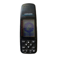
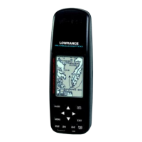
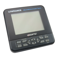
Explanation of the unit's 12 keys and their functions.
Steps to power the GlobalNav 310 unit on and off.
How to navigate and use the unit's menu system.
Acquiring a GPS fix using cold-start or manual initialization.
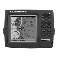
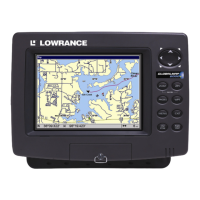
Details on graphical and digital navigation display modes.
Understanding the birds-eye view plotter display.
Using the plotter cursor to navigate and select points.
Customizing plotter display settings like orientation and trails.
Adjusting plot trail density and adding grid lines to the plotter.
Placing and erasing icons on the plotter screen.
View technical data about GPS satellite reception and fix quality.
Monitor your position relative to the desired course line.
Setting the unit's clock, alarms, and countdown/count-up timers.
Customize data boxes on plotter and navigation screens.
Creating, saving, editing, and managing waypoints.
Planning, creating, and following navigation routes.
Setting a destination waypoint for navigation.
Using the plotter's birds-eye view for route guidance.
Stopping active navigation to a waypoint or route.
Adjusting audio output and display contrast settings.
Configuring distance units, speed, and coordinate display formats.
Setting up NMEA output and DGPS receiver connections.
Configuring GPS receiver settings like datum, PCF, and cold start.
Managing position pinning and setting arrival/CDI alarms.
Configuring unit messages and adjusting display backlight.
Customizing display windows for different information groups.
Restoring window groups to their factory default settings.
Using the built-in simulator for trip planning and feature practice.
Information on how to order replacement parts and accessories.
Details of the full one-year limited warranty.
Procedures for requesting service or repairs in different regions.
| Display Type | LCD |
|---|---|
| Waterproof Rating | IPX7 |
| Receiver Channels | 12 |
| Antenna | Internal |
| Routes | 20 |
| Update Rate | 1 second |
| Power Source | 4 AA batteries |