Do you have a question about the Lowrance GlobalMap 3300C and is the answer not in the manual?
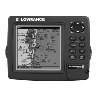
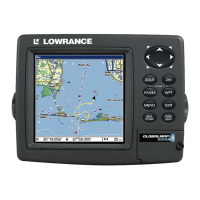
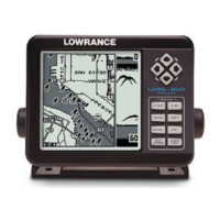
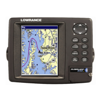
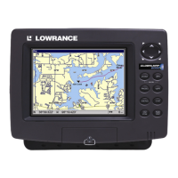
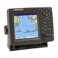
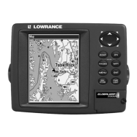
Details the general capabilities and technical specifications of the GlobalMap 3300C GPS unit.
Steps to take before installing the GPS unit and its components.
Detailed instructions for installing the GPS module on various surfaces and mounts.
Instructions for directly connecting the GPS module or via NMEA 2000 network.
Guidance on connecting power for the unit and NMEA 2000 buss.
Information on NMEA 2000 and NMEA 0183 cable configurations.
Procedures for bracket or in-dash installation of the GPS unit.
How to install memory cards for storing GPS data and custom maps.
Information on the unit's protective face cover and optional accessories.
Description of the GPS unit's keys and their functions for navigation and menu access.
Instructions on turning the unit on, off, and adjusting backlight settings.
How to access and navigate the Main Menu and switch between Page displays.
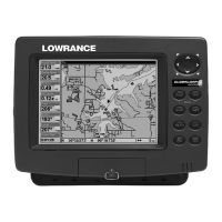
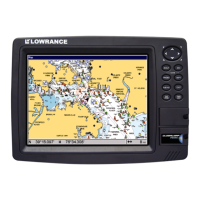
Details on the Satellite Status, Navigation, and Map pages for unit operation.
How to set, save, and navigate to waypoints.
Methods for visually trailing, navigating, and backtracking trails.
Measuring distances between current position and other locations or points.
Creating, deleting, and navigating to icons on the map.
Creating, editing, deleting, and navigating routes.
Covers deleting, editing, and saving trails, as well as trail options.
Setting up arrival, off-course, and anchor alarms with distance settings.
Checking MMC files and available storage space on the memory card.
Configuring NMEA 0183 ports and specific NMEA sentences for communication.
Selecting coordinate systems and configuring map fix for printed charts.
Adjusting map display orientation and selecting map data details.
Displaying Navionics charts and accessing tidal current/tide data.
Managing position pinning, reset options, WAAS alarms, software, and screen/sound settings.
Configuring trail recording criteria, rate, and visibility.
Setting units for speed, distance, depth, temperature, and heading.
Searching for specific street addresses and street names.
Finding interstate highway exits and associated services.
Searching for points of interest, landmarks, and map places by name or proximity.
Locating street intersections and searching for saved waypoints.
List of geographical datums supported by the GPS unit.
| Display Size | 5 inches |
|---|---|
| Display Type | Color TFT |
| Resolution | 320 x 240 pixels |
| Waterproof Rating | IPX7 |
| Waypoints | 3000 |
| Routes | 100 |
| Backlit Display | Yes |
| Power Supply | 12 V DC |
| GPS Receiver | 12-channel |
| Map Support | Navionics |
| Weight | 2.2 lbs |
| Track Log | 10000 points |
| Memory | SD card slot |