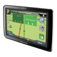
Do you have a question about the Magellan 9270T-LM and is the answer not in the manual?
| Screen Size | 7 inches |
|---|---|
| Display Type | LCD |
| Resolution | 800 x 480 pixels |
| Battery Life | Up to 2 hours |
| Touchscreen | Yes |
| Bluetooth | Yes |
| Voice Command | Yes |
| Battery | Rechargeable lithium-ion |
| GPS Receiver | SiRFstarIII |
| Lane Assist | Yes |
| Voice Guidance | Yes |
| Maps Included | USA, Canada, Puerto Rico |
| Traffic Updates | Lifetime traffic updates |
| Speaker | Built-in |
| Expandable Memory | Yes, via microSD card |
Information on the device's battery, its limitations, and proper charging procedures.
Details on FCC rules, interference, and radiation exposure for the device.
Information regarding Industry Canada compliance and radiation exposure.
Highlights of the device's capabilities, such as saving destinations and accessing AAA services.
Information on the device's interface, battery usage, and signal reception.
Labels and descriptions for the Power Switch, Power Input, Micro SD slot, and AV input.
Steps for selecting location, securing cradle, and attaching the receiver to the mount.
Instructions for connecting the device to the vehicle's power source.
How to turn the receiver on/off and reset it using the power button.
Advice on securing the device against theft and its non-tracking capabilities.
How to power the device, check battery, and view GPS status.
Methods for changing the audio volume from the map screen or settings.
How to adjust the display brightness and enable dimming on battery power.
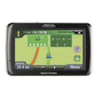
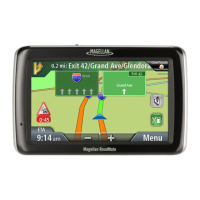
Overview of the Main Menu and its primary function icons.
Explanation of the on-screen keypad layout and its buttons for data entry.
How to switch keyboard layouts and advice for accurate data input.
How Smart City Search predicts destination cities based on location and history.
How QuickSpell aids in faster and error-free city and street name entry.
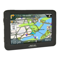
Identification of components like current location, info display, zoom, and menu access.
Key information displayed during active routing, including turns and speed limit.
How to adjust map view settings like 2D/3D modes and zoom levels.
Using the pan function to manually move the map and select a destination.
How to view and save your current position, including address and GPS coordinates.
Accessing and modifying the turn-by-turn directions, including avoiding specific maneuvers.
Step-by-step guide to change the audio volume using the Map screen controls.
How to assign a saved address to a OneTouch icon for quick access.
How to save POI search criteria to a OneTouch icon for later use.
Steps to select a OneTouch icon and initiate navigation to the assigned destination.
Step-by-step guide to entering a full address for navigation.
How to set a destination using two intersecting street names.
How to select a city's geographical center as the destination.
Steps to select and navigate to a previously visited location.
How to save previous destinations to the address book and clear the history list.
Procedures for creating new address book entries, including adding phone numbers and categories.
Steps to search for and navigate to POIs using predefined categories and subcategories.
How to search for and navigate to POIs using their names.
How to find and navigate to services located near highway exits.
Steps to add additional destinations to an existing route for multi-stop trips.
Procedures for reordering, optimizing, or adding destinations to an active trip.
Explanation of the Map screen elements while actively following a route.
Accessing the maneuver list and excluding specific turns or streets from the route.
How to select different route calculation methods (Fastest Time, Shortest Distance, etc.).
Using detour functions to find alternate routes or automatically adjust for traffic jams.
How to enter vehicle height, width, weight, and total length for accurate routing.
Selecting the vehicle class and specifying hazmat information for routing restrictions.
Instructions for selecting the appropriate hazmat type from available options.
How traffic incidents are displayed and how to avoid them.
How to change the device language and set the auto power-off duration.
Adjusting display brightness and setting the preferred time format (12/24 hour).
Setting auto night mode, heading up/north up, and visible POIs.
Enabling auto zoom on turns and highway lane assist for improved navigation.
Setting volume levels, muting sound, and controlling button sounds.
Configuring route methods, turn warnings, U-turn guidance, and toll road avoidance.
Selecting between QWERTY and ABC keyboard layouts.
Enabling live traffic, traffic popups, and audible traffic warnings.
Restoring all default settings and viewing product information like serial number.
Configuring speed limit warnings and selecting installed map regions.