
C
cmooreJul 31, 2025
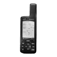
How to fix a Magellan Blazer12 GPS that does not turn on?
- CCraig HayesJul 31, 2025
If your Magellan GPS does not turn on: * Check to ensure the batteries are installed correctly and that the battery terminals are clean. * Replace the batteries.