Do you have a question about the Magellan RoadMate 1210 1200 Series and is the answer not in the manual?
Specifies the maximum operating temperature for the Magellan RoadMate receiver.
Information regarding the receiver's rechargeable battery and replacement procedure.
Guidelines for charging the device using approved adapters and conditions.
Tips for choosing an optimal and safe place to mount the receiver.
Instructions for applying and curing the adhesive disk for mounting.
Steps to firmly attach the car cradle to the chosen mounting surface.
Procedure for connecting the GPS receiver to the car cradle.
Guidance on positioning the receiver for best visibility.
How to connect the device to a power source via the vehicle adapter.
Instructions on managing power and accessory cables for a clean setup.
Verifying power supply and making final adjustments to the mount.
Recommendations for securing the device against theft when unattended.
Step-by-step instructions for turning the GPS device on and off.
Methods for adjusting the audio volume of the receiver.
Instructions on how to adjust the display's brightness level.
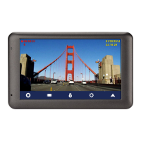
Overview of the main menu screen and its core functions.
Explanation of the on-screen keypad layout and its input fields.
Feature that predicts city names based on location and past entries.
A feature to expedite city and street name entry with suggestions.
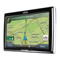
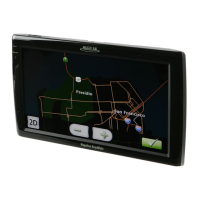
Description of the map display when not actively navigating a route.
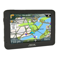
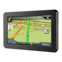
Description of the map display when actively navigating a route.
How to set a destination by selecting a point on the map.
Adjusting audio volume directly from the map interface.
Methods for viewing the current position and related navigation data.
Procedure to save the current location into the address book.
Displays the sequence of turns and distances for the current route.
Step-by-step guide to inputting a street address for navigation.
How to set a destination using an intersection as the reference.
Procedure to select a city's central point as the destination.
Instructions to store past destinations in the address book.
How to set a route to a saved address from the address book.
| Screen Size | 3.5 inches |
|---|---|
| Display Resolution | 320 x 240 pixels |
| External Memory | SD Card Slot |
| Voice Guidance | Yes |
| Touchscreen | Yes |
| Bluetooth | No |
| Display Type | LCD |