Do you have a question about the Magellan RoadMate 1700-LM and is the answer not in the manual?
Covers driving safety, mounting, data entry, database limitations, temperature, and battery precautions.
Covers AC/car chargers, charging temperatures, and battery life.
Covers FCC/IC statements, radiation exposure, and shielded cables.
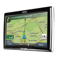
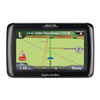
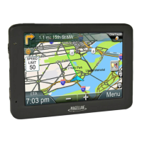
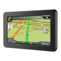
Explains the GPS receiver's function and features.
Lists the core functions and advantages of the device.
Labels the device's buttons, ports, and connectors.
Tips for optimal placement and windshield laws.
Mounting the cradle and connecting the receiver.
Powering the device and routing cables.
Advice on securing the device and its tracking capabilities.
Steps to start and shut down the device.
Checking battery status and adjusting audio output.
Adjusting display illumination and audio feedback.
Navigating the primary user interface.
Using the keypad for data entry.
Includes tips, Smart City Search, and QuickSpell.
Explains Normal vs. Routing modes.
Details key components displayed on the map.
Covers zooming, panning, and routing to map points.
Viewing current position information.
Adding current location to address book.
Route steps and excluding maneuvers.
Controlling audio output from the Map screen.
Step-by-step for address entry.
Navigating via street crossing.
Navigating to a city's central point.
Routing to past locations.
Saving and accessing addresses.
Creating shortcuts for destinations.
Creating shortcuts for POI searches.
Searching for POIs by type.
Using special POI data.
Searching POIs by name.
POIs near freeway exits.
Defining and modifying home location.
Routing to the saved home.
What's shown on the map.
Route steps.
How routes are calculated.
Canceling, detouring.
Automatic detour feature.
Adding multiple destinations.
Modifying multi-stop routes.
Storing complex routes.
Covers language, power, display brightness, time, and measurement units.
Configures map appearance, POI display, and automatic zoom/lane assist.
Adjusts audio levels, route calculation methods, and navigation alerts.
Configures keyboard, GPS, and manages device data.
Displays serial number and software version details.
| Auto | Yes |
|---|---|
| Camper/Caravan | No |
| Marine (chartplotters, sounders) | - |
| Address input | City, Street |
| Number of points of interest | 6000000 |
| Form factor | Fixed |
| Product color | Black |
| GPS accuracy - position | 5 m |
| Map coverage | Canada, USA |
| Map view options | 2D/3D |
| Display diagonal | 7 \ |
| Placement supported | Horizontal/Vertical |
| Storage media type | Flash |
| Compatible memory cards | MicroSD (TransFlash) |
| Supported radio bands | Not supported |
| USB 2.0 ports quantity | 1 |
| USB 3.2 Gen 1 (3.1 Gen 1) Type-A ports quantity | 0 |
| Battery capacity | 720 mAh |
| Power source type | Battery |
| Battery life (max) | 0.5 h |
| Operating temperature (T-T) | -10 - 70 °C |
| Cables included | USB |
| Antenna type | Multidirectional Patch |
| Depth | 106 mm |
|---|---|
| Width | 190.5 mm |
| Height | 16 mm |
| Weight | 297 g |