Do you have a question about the Sokkia CX-103 and is the answer not in the manual?
Provides safety warnings and precautions related to the instrument's power supply and battery charging.
Critical warnings regarding hazardous radiation exposure and safe usage procedures for laser products.
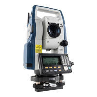
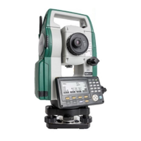
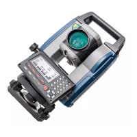
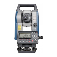
Identifies and labels all components of the CX instrument for user reference.
Explains fundamental key operations and navigation within the instrument interface.
Explains the various status screens, OBS mode, measuring, and input screens.
Provides a step-by-step procedure for charging the instrument's battery.
Explains the correct procedure for installing and removing the instrument's battery.
Instructions for centering the instrument over the survey point using optical or laser plumments.
Procedures for leveling the instrument using the screen display or plate level.
Details the required settings for establishing Bluetooth wireless communication.
Procedure to measure horizontal angles and set the horizontal angle to 0°.
Explains how to reset and hold the horizontal angle to a specific required value.
Describes how to measure both distance and angle simultaneously.
Procedure for measuring the height of inaccessible points using the REM function.
Step-by-step guide to inputting instrument station coordinates, heights, and azimuth angle.
Method for determining instrument station coordinates using resection measurements.
Detailed procedure for calculating instrument station coordinates using known points.
Explains how to find the 3D coordinates of a target using station data and measurements.
Procedure for setting out points based on input coordinates, calculating required angles and distances.
Method for setting out points based on horizontal angle and distance from the instrument station.
Procedure for setting out points where direct target installation is not possible using REM.
Instructions for defining a baseline by inputting coordinates or observing two points.
Methods for defining an arc using various parameters or by observing points.
Procedure to measure distances, horizontal distances, and angles between multiple points.
Steps for performing traverse calculations and adjustments to improve precision.
Procedure to calculate coordinates for center and width pegs of a straight line.
Method to find center and width peg coordinates for a circular curve.
How to find center and width peg coordinates for a spiral (clothoid) curve.
Procedure to find center and width peg coordinates for a parabola.
Instructions for measuring and setting out points along a cross-section of a road or feature.
How to store instrument station coordinates, point name, and other parameters.
Procedure for recording backsight station data, including azimuth angle or coordinates.
How to select the current JOB and the Coordinate Search JOB.
Instructions for registering or deleting coordinate data for known points.
Procedure for correctly inserting and securing the USB memory device.
Details on configuring various instrument settings related to observation conditions.
How to customize softkey allocations for efficient instrument operation.
Instructions for restoring instrument settings and data to factory defaults.
Procedure for checking and adjusting the plate level for accurate leveling.
Procedure for checking and adjusting the circular level for accurate leveling.
Procedure to check the tilt sensor and cancel tilt zero point errors.
Method to measure collimation error for instrument correction.
Procedure for checking and adjusting the optical plummet.
Procedures for checking and adjusting the laser plummet function.
Information on compatible batteries, chargers, and power supply combinations.
Details on measuring methods, signal source, and measuring range.
Lists the accuracy specifications for different measurement modes and targets.
| Brand | Sokkia |
|---|---|
| Model | CX-103 |
| Category | Measuring Instruments |
| Language | English |