Vector Sensor Reference Manual 137
Please note that the process of estimating ionospheric corrections beyond the WAAS broadcast
map would not be as good as having an extended WAAS map in the first place. This difference
may lead to minor accuracy degradation.
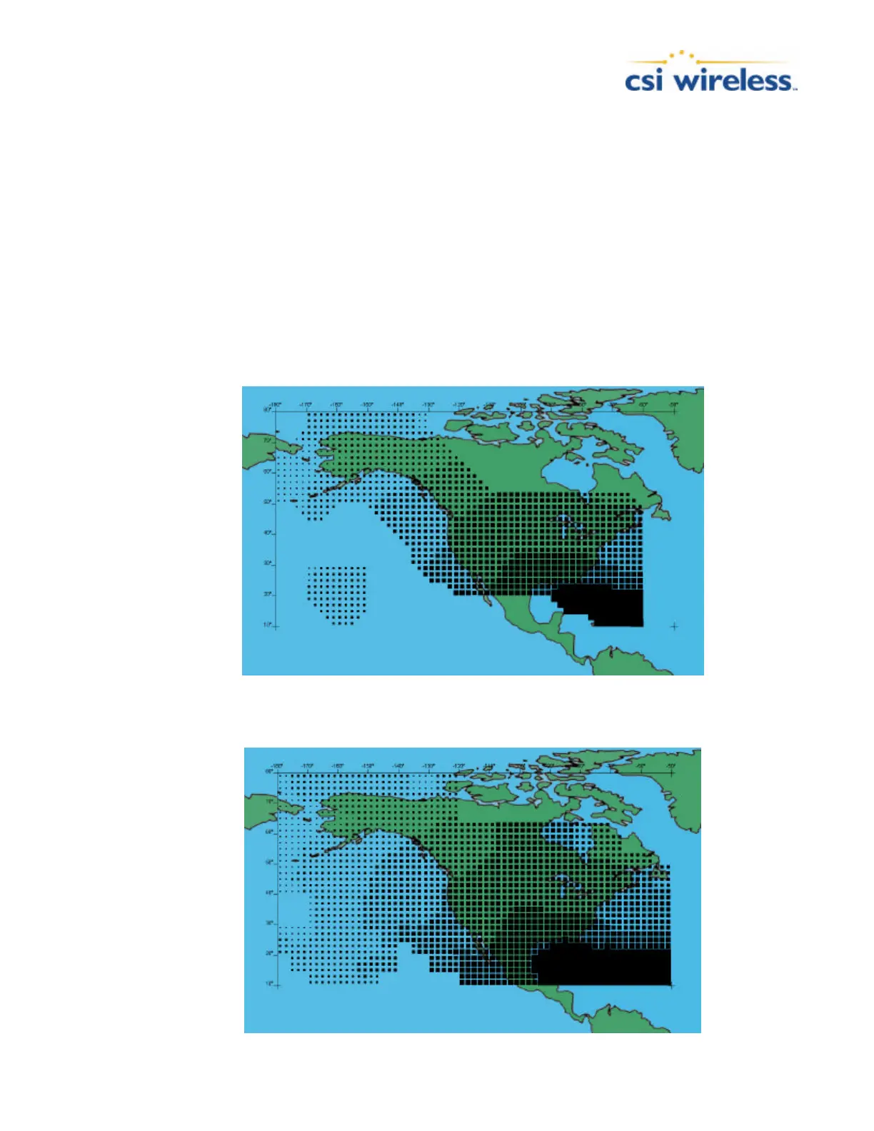
Figures 1-1 and 1-2 depict the broadcast WAAS ionospheric map extent and the CSI Wireless
extrapolated version, respectively. As can be seen from Figure 1-2, the coverage compared to
Figure 1-1 extends further in all directions, enhancing usable coverage.
Similar to the WAAS ionospheric map extrapolation, Figures 1-3 and 1-4 depict the broadcast
EGNOS ionospheric map extent and the CSI Wireless extrapolated version, respectively. As can
be seen from Figure 1-2, the coverage compared to Figure 1-1 extends further in all directions,
enhancing usable coverage.
Figure C-3 Broadcast WAAS Ionospheric Correction Map