EN
7
[1] To comply with local laws and regulations, this frequency is not available in some countries or regions.
[2] Support for Galileo is coming soon.
Multi-Frequency Multi-System High-
Precision RTK GNSS
Frequency Used
GPS: L1/L2; GLONASS: L1/L2; BeiDou: B1/B2; Galileo
[2]
: E1/E5
First-Fixed Time: < 50 s
Positioning Accuracy: Vertical 1.5 cm + 1 ppm (RMS); Horizontal 1 cm + 1 ppm (RMS).
1 ppm indicates error with a 1 mm increase over 1 km of movement.
Velocity Accuracy: 0.03 m/s
●
Mapping Functions
Ground Sample Distance (GSD) (H/18.9) cm/pixel, H indicates the aircraft altitude relative to the area mapped (unit: m)
Rate of Data Collection Max operating area of approx. 0.63 km
2
for a single ight at an altitude of 180 m, i.e., GSD is
approx. 9.52 cm/pixel, with a forward overlap rate of 80% and a side overlap ratio of 60%, during
a ight that drains the battery from 100% to 30%.
●
Gimbal
Controllable Range Pitch: -90° to +30°
●
Vision System
Velocity Range ≤ 31 mph (50 kph) at 6.6 ft (2 m) above ground with adequate lighting
Altitude Range 0 - 33 ft (0 - 10 m)
Operating Range 0 - 33 ft (0 - 10 m)
Obstacle Sensory Range 2 - 98 ft (0.7 - 30 m)
Operating Environment Surfaces with clear patterns and adequate lighting (> 15 lux)
●
Camera
Sensors Six 1/2.9” CMOS, including one RGB sensor for visible light imaging and ve monochrome sensors for
multispectral imaging.
Each Sensor: Effective pixels 2.08 MP (2.12 MP in total)
Filters
Blue (B): 450 nm ± 16 nm; Green (G): 560 nm ± 16 nm; Red (R): 650 nm ± 16 nm;
Red edge (RE): 730 nm ± 16 nm; Near-infrared (NIR): 840 nm ± 26 nm
Lenses FOV (Field of View): 62.7°
Focal Length: 5.74 mm (35 mm format equivalent: 40 mm), autofocus set at ∞
Aperture: f/2.2
RGB Sensor ISO Range 200 - 800
Monochrome Sensor Gain 1 - 8x
Electronic Global Shutter 1/100 - 1/20000 s (visible light imaging); 1/100 - 1/10000 s (multispectral imaging)
Max Image Size 1600×1300 (4:3.25)
Photo Format
JPEG (visible light imaging) + TIFF (multispectral imaging)
Supported File Systems FAT32 (≤ 32 GB); exFAT (> 32 GB)
Supported SD Cards microSD with a minimum write speed of 15 MB/s. Max Capacity: 128 GB. Class 10 or UHS-I rating
required
Operating Temperature 0° to 40° C (32° to 104° F)
●
Remote Controller
Operating Frequency 2.4000 GHz to 2.4835 GHz (Europe, Japan, Korea)
5.725 GHz to 5.850 GHz (Other countries/regions)
[1]
Transmission Power (EIRP) 2.4 GHz: < 20 dBm (CE / MIC / KCC)
5.8 GHz: < 26 dBm (FCC / SRRC / NCC)
Max Transmission Distance FCC / NCC: 4.3 mi (7 km); CE / MIC / KCC / SRRC: 3.1 mi (5 km)
(Unobstructed, free of interference)
Built-in Battery 6000 mAh LiPo 2S
Operating Current / Voltage 1.2 A @ 7.4 V
Mobile Device Holder Tablets and smartphones
Operating Temperature 0° to 40° C (32° to 104° F)
●
Intelligent Flight Battery (PH4-5870mAh-15.2V)
Capacity 5870 mAh
Voltage 15.2 V
Battery Type LiPo 4S
Energy 89.2 Wh
Net Weight 468 g
Operating Temperature -10° to 40° C (14° to 104° F)
Charging Temperature 5° to 40° C (41° to 104° F)
Max Charging Power 160 W
●
Intelligent Flight Battery Charging Hub (P4CH)
Voltage 17.5 V
Operating Temperature 5° to 40° C (41° to 104° F)
●
AC Power Adapter (PH4C160)
Voltage 17.4 V
Rated Power 160 W
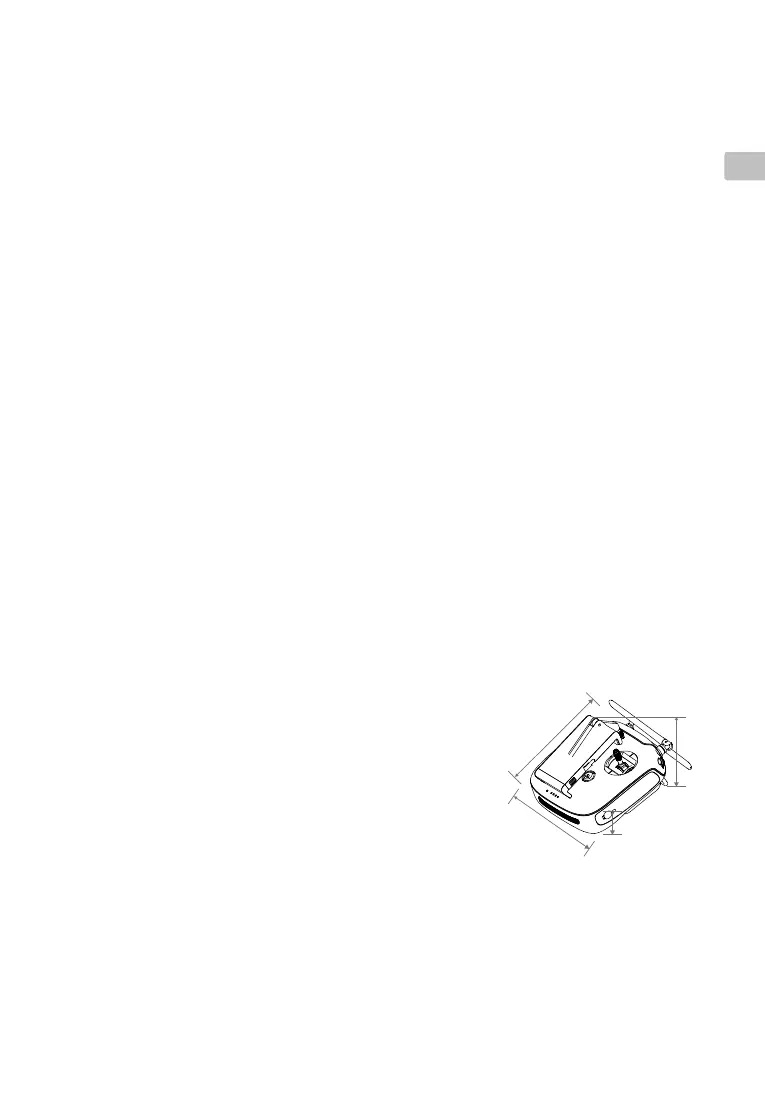
18
2
m
m
1
7
2 m
m
136 mm
71 mm