Stopmoto
rmid‐flight
●Rotatingpropellerscanbedangerous.Donotstartthemotorswhentherearepeoplenearby.
● Alwayskeepyourhandsontheremotecontrollersolongasthemotorisstillspinning.
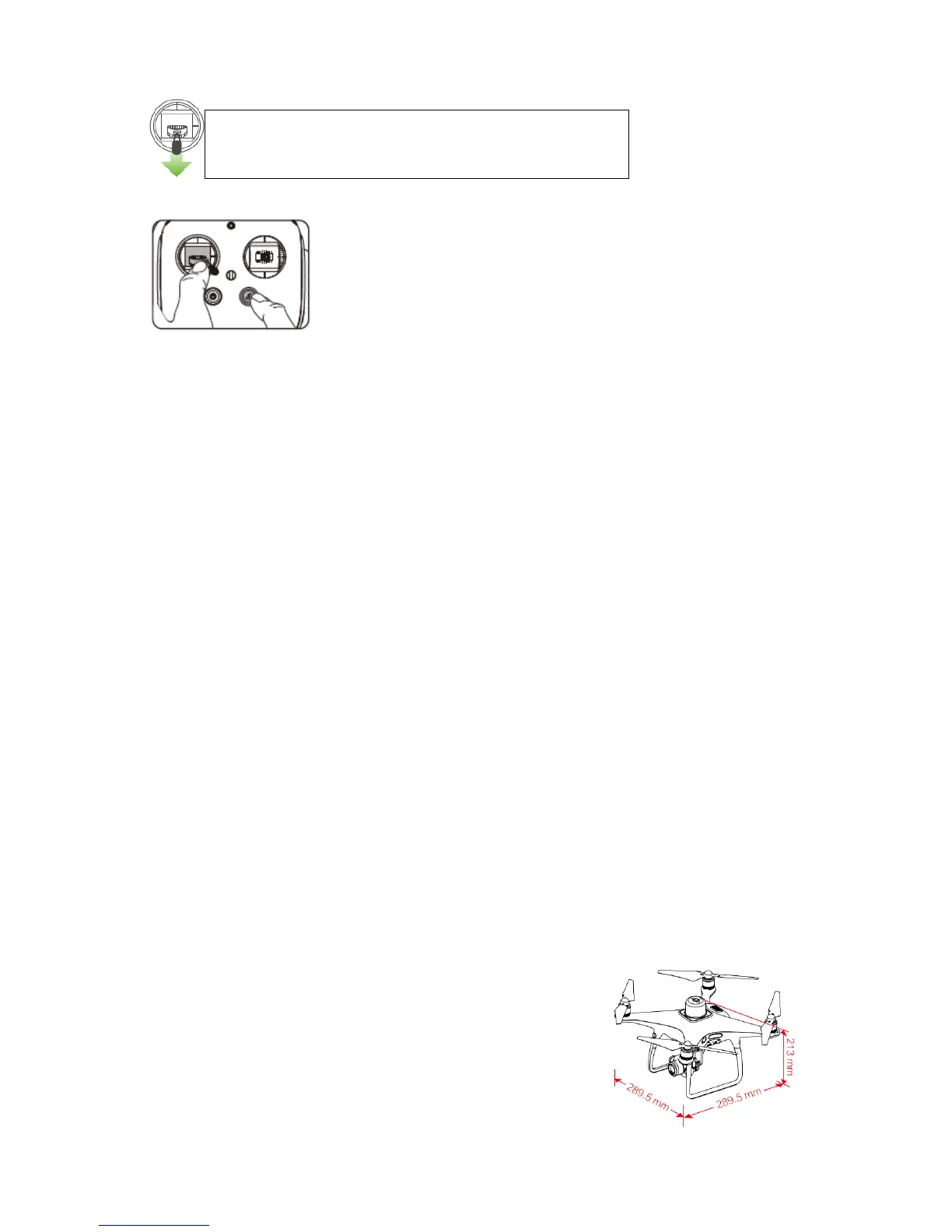
● Stop motor mid‐flight: Pull the left stick to the bottom inside corner while simultaneously pressing
theRTHbutton.Onlystopmotorsmid‐flightinemergencysituationswhendoingsocanreducetherisk
ofdamageorinjury.
7.Mapping
Plan the mapping area in the DJI MG app, and then resume the task to genera te a map with more
accurate positioning. Users can finish field planning on the new map and share the planning to the
remotecontrolleroftheAgrasMG‐1SAdvancedorMG‐1Pseriestoachievemoreaccurateandefficient
routeplanning.
a.DJIMGAppMainInterface>FieldPlan>PlanwithP4RTK>Start.
b.Tapthescreenattheboundarypointoftheareathatrequiresmappingtoaddawaypoint.
c.Tapandholdthescreentomarkanobstacle.
d.Addcalibrationpoint:Walktothelocationofthecalibrationpoint.TadAddCalibrationPointonscreen.
e.Parametersettings:SetFlyingSpeed,Altitude,FrontOverlapRation,SideOverlapRation.
f.Saveandnamethetask.
g.GotoDJIMGMainInterface>ResumeTask>TaskListontheleft>Mappingtochooseandresumea
mappingtask.
h.Rectifyposition.
i.Slidetostartthetask.
j.Theappwillgenerateamapafterthetaskiscompleted.UserscanchoosethemapinFieldtagofthe
TaskList.
k.Addwaypointsandobstacleinformationonthegeneratedmapforfieldplan.Theplanningdatawillbe
savedinthecurrentfieldtask.
l. Share the field task to DJI Agriculture Service app. Then the related users can download it from the
remotecontrolleroftheAgrasMG‐1SAdvancedorMG‐1Pseriestogenerateroutequicklyandperforma
routetask.
Specifications
●Aircr
aft
Weight(Battery&PropellersIncluded) 1388g
MaxServiceCeilingAboveSeaLevel 6000m
MaxFlightTime Approx.30minutes
Leftsti
ckdown(slowly)untilyoutouchtheground
Holdafewsecondstostopthemotors