8
©
2020 DJI All Rights Reserved.
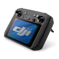
DJI Pilot App
The touch interface can be used for capturing photos, recording videos and playback. The visual
cameras support intelligent functions such as High-Res Grid Photo and Night Scene, while the
infrared thermal camera supports Digital Zoom, Spot Meter, Palette and Isotherm functions, which can
all be congured in the app.
Among the following functions, those marked with * are only applicable to the infrared thermal
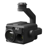
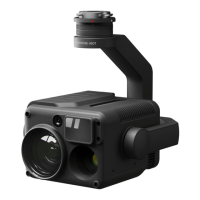
camera of the Zenmuse H20T.
Basic Functions
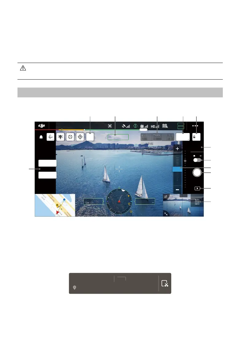
You can view the liveview from the Zenmuse H20 series and change camera settings in Camera View.
19:29
GPS
12
2.4G
80%
100%
26.1v
26.1v
)39
0(18
10 X
2 X
5.0 X
M
51
100
1/800
-0.3
H
222m
H
130.2
ALT
V
.
ASL1234.5
63'
1215
:,'(
,5
$(
In Flight (GPS)
$)&
ZOOM 5.0X
1 2 3 5
6
7
9
8
10
11
12
4
1. Laser Ranging
Tap to enable the laser ranging function. Laser ranging can measure the distance of objects
within the measurement range, and displays the distance from the aircraft, relative height and GPS
position of the measured object in the middle of the screen. After enabling this function, you can
save the current camera view with laser ranging information by tapping the screenshot button. The
image will be stored in the remote controller.
NG 300m 1300m
+45.3489984, -45.4598989
2. Camera and Zoom
Shows the camera of the current liveview and its zoom ratio.
3. Camera Parameters
Shows the camera’s current shoot/record parameters.
 Loading...