3
Changing Chart Scale
Press the RANGE - key (shrinks the scale,
and expands image) or RANGE + key
(expands the scale, and shrinks image).
Entering a Mark
1. Place the cursor where you want a mark
to appear.
2. Press the MARK ENTRY soft key.
Entering a Waypoint at Own
Ship Position
Press the SAVE/MOB key momentarily to
store your position as a waypoint.
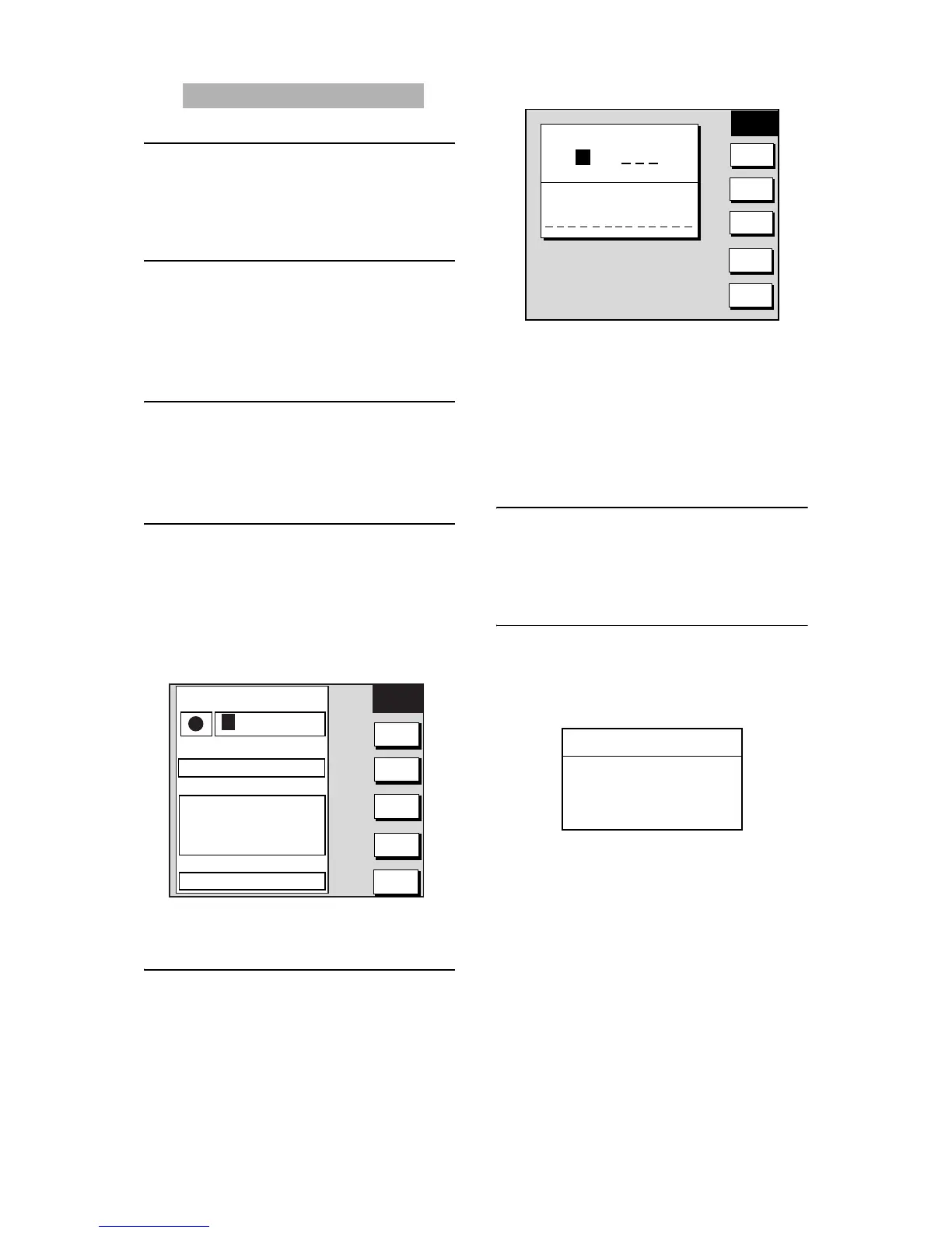
Entering a Waypoint with
Cursor
1. Press the MENU key,
WAYPOINTS/ROUTES, WAYPOINTS
and WAYPOINT BY CURSOR soft keys
in order to show the plotter display.
2. Operate the trackball to place the cursor
where you want to enter a waypoint.
3. Press the NEW WAYPOINT soft key.
4. Press the SAVE soft key.
Creating a Route
1. Press the MENU key,
WAYPOINTS/ROUTES, ROUTES soft
keys in order to show the ROUTE menu.
2. Press the NEW ROUTE soft key to open
the new route entry screen.
3. Press the LOCAL LIST or ALPHA LIST
soft key to open the waypoint list.
4. Use the trackball to select a waypoint,
then press the ADD WPT soft key.
5. Repeat step 4 to complete the route.
6. Press the SAVE soft key to register the
route, and then press the MENU key.
Navigating to Waypoints
1. Operate the trackball to select a
waypoint on the plotter display.
2. Press the GO TO WPT soft key.
Setting Arrival Alarm
1. Press the ALARM key.
2. Select ARRIVAL ALARM.
3. Press the EDIT soft key to show the
arrival alarm window.
4. Use the trackball to select ON.
5. Enter alarm range, and then press the
ENTER soft key or ENTER knob to
register setting.
6. Press the ALARM key to finish.
NEW
WPT
SELECT
MARK
COORD
TYPE
N< - - >S
E< - - >W
SAVE
RETURN
▲
34°44.000'N
135°21.000'W
359.9°
0.00nm
002PT
00:00 01JAN00
34°44.000'N
135°21.000'W
359.9°
0.00nm
003WPT
00:00 01JAN00
34°44.000'N
135°21.000'W
359.9°
0.00nm
COMMENT
02:36 01JAN01
LAT
34° 12. 134'N
LON
134° 12. 345'W
PROXIMITY ALARM RADIUS
0. 00nm
MARK
001WPT
NAME
NEW
ROUTE
PLOT
LOCAL
LIST
ALPHA
LIST
CONECT
CANCEL
ROUTE NAME
COMMENT
0 0 1
ARRIVAL ALARM
▲
{ ON 0.010km
~ OFF
▼
<PLOTTER Operation
 Loading...