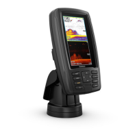
NOTE: If the cables are not inserted far enough into the
cradle, the connectors may not connect securely to the ports,
and the device may appear to lose power or stop working.
4
Place the locking bracket over the cables and slide the
bracket down to lock the cables in place.
There is an audible click when the locking bracket is installed
correctly.
Installing the Device in the Cradle
After the cables are connected to the cradle, you can quickly
place the device in the cradle.
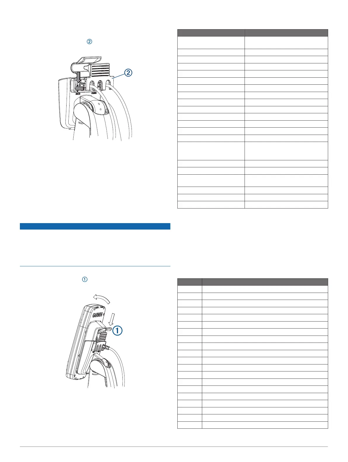
1
Place the base of the device in the bottom of the cradle.
2
Tilt the top of the device toward the cradle until it fastens in
place.
There is an audible click when the device is secured in the
cradle.
NOTICE
You should make sure the device is firmly secured in the cradle.
If the model uses a locking bracket, make sure the bracket is
firmly snapped shut. There is an audible click when the device
or locking bracket is installed correctly. If the device is not firmly
secured, it can lose power. The device can also fall out of the
cradle and become damaged if it is not firmly secured.
Removing the Device from the Cradle
1
Press the release lever on the cradle until the device is
released.
2
Tilt the device forward, and lift it out of the cradle.
Specifications
Specification Measurement
Dimensions on mount (W x H x
D)
102.3 x 203.9 x 4.6 mm (4 x 8 x
3
1
/
8
in.)
Weight 0.7 kg (1.6 lbs.)
Display size (W x H) 53.9 x 95.0 mm (2
1
/
8
x 3
3
/
4
in.)
Display type WQVGA
Display resolution 480 x 272 pixels
Material Polycarbonate plastic
Water rating
1
IEC 60529 IPX7
Temperature range From -15 to 55°C (from 5 to 131°F)
Fuse 3 A, 125 V fast-acting
Input voltage From 9 to 18 Vdc
Max. power draw
2
5 W
Typical current draw (RMS)
2
0.5 A
Max. current draw (RMS)
2
2 A
Compass-safe distance 25 cm (9.8 in.)
Sonar frequencies
3
Traditional: 50, 77, 83, or 200 kHz
CHIRP Garmin ClearVü: 260, 455, or
800 kHz
Transmit power (RMS)
3
500 W
Maximum depth
4
701 m (2,300 ft) at 77 kHz
Memory card 1 microSD
®
card slot; 32 GB max. card
size
Max. waypoints 5,000
Max. routes 100
Max. active track points 50,000 points, 50 saved tracks
1
The device withstands incidental exposure to water of up to 1 m
for up to 30 min. For more information, go to www.garmin.com
/waterrating.
2
Dependent upon transducer and chartplotter model.
3
Dependent upon transducer.
4
Maximum depth is dependent upon transducer, water salinity,
bottom type, and other water conditions.
NMEA 0183 Information
Transmit
Sentence Description
GPAPB APB: Heading or track controller (autopilot) sentence "B"
GPBOD BOD: Bearing (origin to destination)
GPBWC BWC: Bearing and distance to waypoint
GPGGA GGA: Global positioning system fix data
GPGLL GLL: Geographic position (latitude and longitude)
GPGSA GSA: GNSS DOP and active satellites
GPGSV GSV: GNSS satellites in view
GPRMB RMB: Recommended minimum navigation information
GPRMC RMC: Recommended minimum specific GNSS data
GPRTE RTE: Routes
GPVTG VTG: Course over ground and ground speed
GPWPL WPL: Waypoint location
GPXTE XTE: Cross track error
PGRME E: Estimated error
PGRMM M: Map datum
PGRMZ Z: Altitude
SDDBT DBT: Depth below transducer
SDDPT DPT: Depth
SDMTW MTW: Water temperature
SDVHW VHW: Water speed and heading
4
 Loading...