Do you have a question about the Garmin GPSMAP 188C and is the answer not in the manual?
First-time setup for satellite data acquisition and location fix.
Using practice mode and adjusting screen brightness.
Understanding device buttons and map pointer usage.
Marking, editing, and using saved locations.
Guidance to destinations and retracing recorded paths.
Designing and following multi-point routes.
Searching for items and digital selective calling.
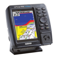
Detailed cartography, plotting, and data display.
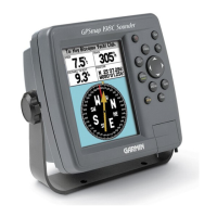
Steering guidance and data presentation pages.
Shows route progress, legs, and time estimates.
Fishfinder/flasher display with transducer data.
Receiver status, accuracy, and WAAS/DGPS.
Managing saved points and navigation routes.
Recording, saving, and using track logs.
Configuring device options and external interfaces.
Setting alerts and configuring sonar display.
Unit details, mounting, and transducer setup.
Cables, data formats, and card usage.
Satellite data, WAAS/DGPS, and navigation glossary.
Crucial safety, regulatory, and warranty information.
| Brand | Garmin |
|---|---|
| Model | GPSMAP 188C |
| Category | Marine Equipment |
| Language | English |