Do you have a question about the Garmin GPSMAP 2006, 2010 and is the answer not in the manual?
Explains the nature and limitations of the map data used in the device.
Details compliance with FCC regulations for digital devices.
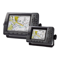
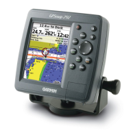
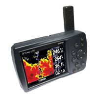
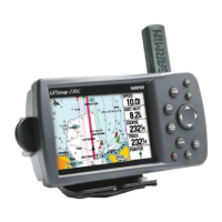
Details the hardware and GPS performance aspects of the unit.
Lists advanced navigation and mapping functionalities.
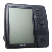
Describes the primary function keys like IN, OUT, PAGE, QUIT, ENTER/MARK, MENU, NAV, FIND, MOB, POWER.
Details the keys used for inputting alpha-numeric data into the unit.
Explains the context-sensitive soft keys located at the bottom of the display.
Step-by-step instructions for powering the unit on and acknowledging warning messages.
Guide for modifying screen contrast and backlight levels for optimal viewing.
Instructions on how to turn the backlight on and adjust its intensity.
Step-by-step guide to start and set up the simulator for practice navigation.
Instructions on capturing the current location and saving it as a new waypoint.
Guide for selecting a symbol to represent a waypoint from the available options.
Instructions for naming a waypoint using the data entry keys or keypad.
Guide for adding descriptive comments to waypoints.
Shows how to use soft keys to hide and show map data fields for better viewing.
Explains how to use the map pointer for navigation and setting destinations.
Explains the components of the Compass Page and how to interpret the bearing pointer and compass ring.
Instructions on how to simulate a turn on the Compass Page to practice navigation.
Steps to power on the unit and acknowledge initial warning screens.
Procedure for confirming understanding of the unit's warning message.
How to use the map cursor to graphically set the initial position for faster satellite acquisition.
Details how to move the cursor, its behavior at screen edges, and its interaction with map items.
How to use the IN and OUT keys to change the map's zoom level and range.
Explains how to customize the Map Page layout and data fields using soft keys.
Describes how to select different data types for display in the map's number fields.
How to use the measure function to find the bearing and distance between two points.
Covers map configuration options organized into tabs like General, Source, Waypoints, etc.
Overview of the Numbers Page layout and data field options.
Explains the Highway Page's digital and graphic steering guidance features.
Instructions for creating waypoints directly from the map display.
Steps to access and modify existing waypoints through the Waypoint Edit page.
Overview of the User Waypoint List, including options to review, edit, rename, or delete waypoints.
Instructions for cleaning the unit's lens and housing, and proper storage to avoid damage.