Do you have a question about the Garmin GPSMAP 276C and is the answer not in the manual?
Instructions on how to enable and use Simulator Mode for practice.
Methods for starting navigation to a destination in Marine Mode.
Instructions for creating new routes using the Route tab.
Capturing current location or entering coordinates to create waypoints.
Configuring and saving track logs for later use.
Using saved tracks for navigation (TracBack).
Using map, compass, and highway pages to follow an activated route.
Digital Selective Calling features for marine communication.
Configuring various alarms for navigation and system events.
Customizing system settings like welcome messages and display.
Configuring system modes, filters, text language, and power settings.
Configuring route preferences, calculation methods, and guidance behavior.
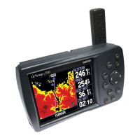
Displaying sonar data in a split screen with the map.
Detailed explanation of the Sonar page and its features.
Understanding DSC technology for marine communication and safety.
Warnings regarding battery handling and potential hazards.
Important cautions regarding the safe and prudent use of the GPS unit.
Safety warnings related to vehicle mounting and driver distraction.
| Sport (fitness, running) | No |
|---|---|
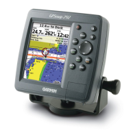
| Marine (chartplotters, sounders) | Yes |
| Routes quantity | 50 |
| Tracks quantity | 20 |
| Number of waypoints | 3000 |
| Form factor | Fixed |
| Product color | Gray |
| I/O ports | NMEA 0183 |
| Antenna type | Detachable |
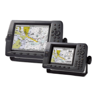
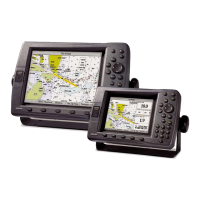
| Display resolution | 480 x 320 pixels |
| Headphone outputs | 1 |
| Battery life (max) | 15 h |
| Sustainability certificates | RoHS |
| Depth | 48 mm |
|---|---|
| Width | 145 mm |
| Height | 81 mm |
| Weight | 385 g |