Do you have a question about the Garmin oregon 550t and is the answer not in the manual?
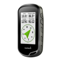
| Display Size | 3 inches |
|---|---|
| Display Resolution | 240 x 400 pixels |
| Battery Life | 16 hours |
| Water Resistance | IPX7 |
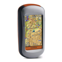
| Basemap | Yes |
| Ability to add maps | Yes |
| Internal memory | 850 MB |
| Waypoints | 1000 |
| Routes | 50 |
| Track log | 10, 000 points, 200 saved tracks |
| Geocaching-friendly | Yes |
| Custom POIs | Yes |
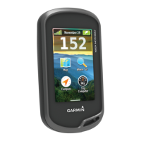
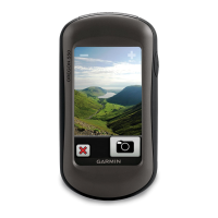
| Picture viewer | Yes |
| Area calculation | Yes |
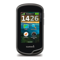
| Sun and moon information | Yes |
| Tide tables | Yes |
| GPS receiver | High-sensitivity |
| Barometric altimeter | Yes |
| Display Type | Color TFT |
| Preloaded Maps | Yes |
| Accepts data cards | microSD |
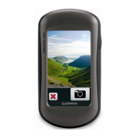
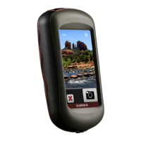
| Camera | 3.2 megapixel |
| Wireless connectivity | Yes |
| Compass | 3-axis electronic compass |
| Weight | 6.8 oz (192.7 g) with batteries |
| Dimensions | 2.3" x 4.5" x 1.3" (5.8 x 11.4 x 3.3 cm) |