Do you have a question about the Garmin Oregon 650 and is the answer not in the manual?
Provides step-by-step instructions for installing the rechargeable NiMH battery pack.
Explains the procedure for charging the device's battery pack.
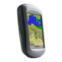
Covers creating, marking on map, and finding saved waypoints.
Guides on searching for locations by name, address, or proximity.
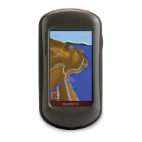
Provides instructions on how to plan and build a route.
Guides on renaming routes and modifying route points.
Explains the process for removing a saved route.
Instructions for starting, pausing, and stopping track recording.
Covers saving tracks, viewing information, and elevation plots.
Covers finding and stopping navigation sessions.
Instructions for using the Man Overboard (MOB) feature.
Provides steps to calibrate the electronic compass for accuracy.
How to input personal data for accurate fitness data calculation.
Resets the entire device to factory default configurations.
Details regarding the device's battery type, life, and temperature ratings.
Provides tips to extend the operational life of the device's batteries.
Covers disconnecting USB, viewing info, updating software, and resetting.
| Outdoor (hiking, trekking) | Yes |
|---|---|
| Marine (chartplotters, sounders) | No |
| Routes quantity | 200 |
| Number of waypoints | 4000 |
| Navigation protocols | NMEA 0183 |
| Form factor | Handheld |
| Product color | Black, Grey |
| Display diagonal | 3 \ |
| Display resolution | 240 x 400 pixels |
| Display size (HxV) (imperial) | 2.5 x 1.5 \ |
| Storage media type | - |
| Compatible memory cards | MicroSD (TransFlash) |
| Internal storage capacity | 3.5 GB |
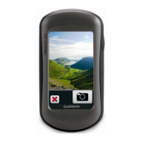
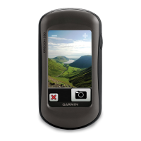
| Megapixel | 8 MP |
| USB 2.0 ports quantity | 1 |
| Supported radio bands | Not supported |
| Battery type | AA |
| Power source type | Battery |
| Battery life (max) | 16 h |
| Battery technology | Nickel-Metal Hydride (NiMH) |
| Number of batteries supported | 2 |
| Cables included | USB |
| Depth | 33 mm |
|---|---|
| Width | 61 mm |
| Height | 114 mm |
| Weight | 209.8 g |