92 Oregon 650 Panduan Pengguna
ID
2 Pilih jenis pengukuran.
3 Pilih satuan ukur.
Pengaturan Waktu
Pilih
Setup (Konfigurasi)
>
Time
(Waktu)
.
Time Format (Format Waktu):
Mengatur
perangkat agar menampilkan waktu
dalam format 12 atau 24 jam.
Time Zone (Zona Waktu):
Menetapkan
zona waktu perangkat.
Automatic
(Otomatis)
mengatur zona waktu secara
otomatis berdasarkan posisi GPS.
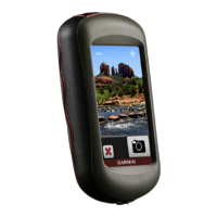
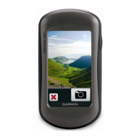
Pengaturan Kamera
Pilih
Setup (Konfigurasi)
>
Camera
(Kamera)
.
Photo Resolution (Resolusi Foto):
Menetapkan resolusi foto.
Save Photos To (Simpan Foto ke):
Menetapkan lokasi penyimpanan foto.
Camera Instructions (Petunjuk
Kamera):
Menampilkan petunjuk ringkas
tentang cara mengambil foto.
Pengaturan Cache Geogra
Pilih
Setup (Konfigurasi)
>
Geocaching
(Penandaan Cache Geografi)
.
Geocache List (Daftar Cache Geografi):
Untuk menampilkan daftar cache geografi
menurut nama atau kode.
Geocache Style (Gaya Cache
Geografi):
Mengatur gaya tampilan
untuk data cache geografi.
chirp Searching (Pencarian chirp):
Memungkinkan perangkat mencari cache
geografi yang berisi aksesori chirp.
Program chirp (chirp Program):
Memprogram aksesori chirp. Lihat
panduan pengguna chirp di www.garmin.
com.
Filter Setup (Konfigurasi Penyaring):
Memungkinkan Anda membuat dan
menyimpan penyaring kustom untuk
cache geografi berdasarkan faktor
tertentu.
Found Geocaches (Cache Geografi
Ditemukan):
Untuk mengedit jumlah
cache geografi yang ditemukan. Angka
ini akan secara otomatis meningkat saat
Anda mendata temuan.
 Loading...