30
Chapter 3: Operation
V104s Overview
The V104s provides accurate and reliable heading and position information
at high update rates. To accomplish this task, the V104s uses a high
performance GPS receiver and two antennas for GPS signal processing. One
antenna is designated as the primary GPS antenna and the other is the
secondary GPS antenna. Positions computed by the V104s are referenced to
the phase center of the primary GPS antenna. Heading data references the
vector formed from the primary GPS antenna phase center to the secondary
GPS antenna phase center.
The heading arrow located on the bottom of the V104s enclosure defines
system orientation. The arrow points in the direction the heading
measurement is computed (when the antenna is installed parallel to the
fore-aft line of the vessel). The secondary antenna is directly above the
arrow.
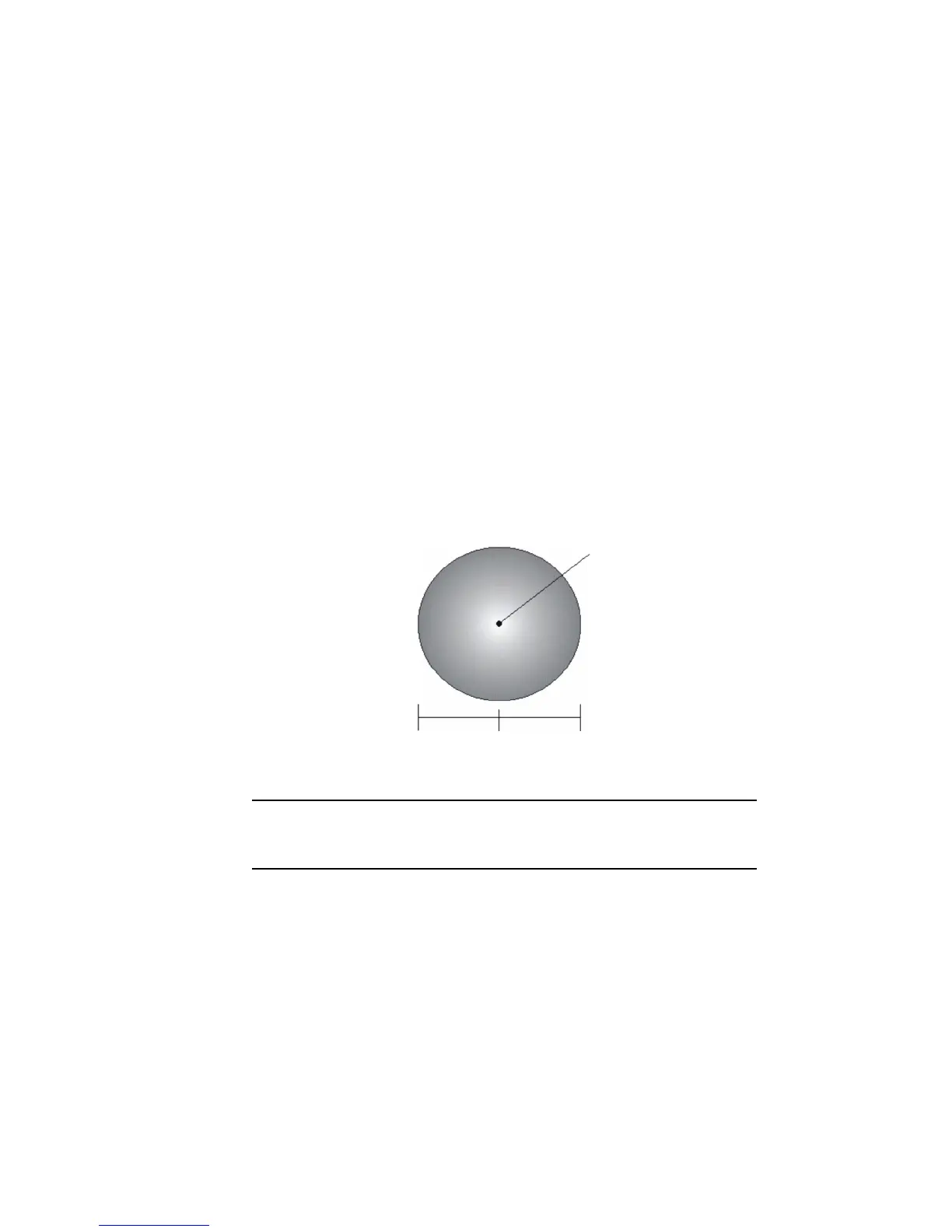
Figure 3-1: Secondary antenna’s search volume
Note: The V104s moving base station algorithm only uses GPS to calculate
heading. Differential corrections are not used in this calculation and will not
affect heading accuracy.
0.135 m
Primary antenna
baseline