3.12 Display Simple Chart
y
y y
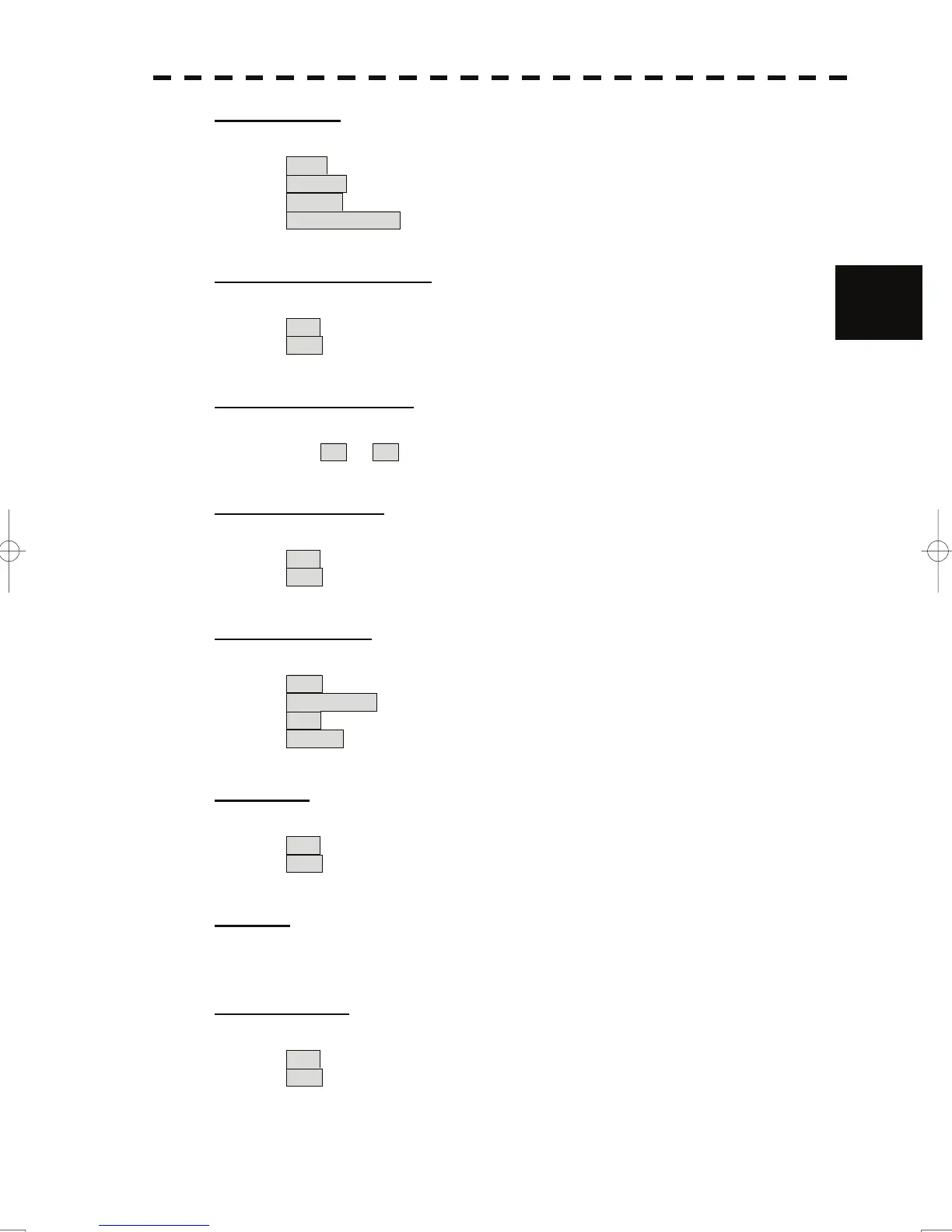
[3] Depth Unit
• Set the unit to display water depth value on the C-MAP.
Feet : The feet is used as the unit of water depth.
Fathom : The fathom is used as the unit of water depth.
Meters : The meter is used as the unit of water depth.
Decimal Fathom : The decimal fathom is used as the unit of water depth.
[4] Light Sectors Display
3
• Set whether to display lighthouse's light sectors on the C-MAP.
On : Light sectors are displayed.
Off : Light sectors are not displayed.
[5] Light Sectors Level
• Set the level of lighthouse's light sectors displayed on the C-MAP.
Levels from A to H are available.
[6] Chart Boundary
• Set whether to display chart boundary on the C-MAP.
On : The chart boundary is displayed.
Off : The chart boundary is not displayed.
[7] Buoy&Beacon
• Set the buoy and beacon display on the C-MAP and the type of marks.
Off : Buoys and beacons are not displayed.
International : Buoys and beacons are displayed in the international format.
US : Buoys and beacons are displayed in the US format.
Simple : Buoys and beacons are displayed in a simple format.
[8] Names
• Set whether to display place-names on the C-MAP.
On : Place-names are displayed.
Off : Place-names are not displayed.
[9] Next
• Move on to the following page.
[1] Land Marks
• Set whether to display land marks on the C-MAP.
On : Land marks are displayed.
Off : Land marks are not displayed.
3-118

 Loading...