Do you have a question about the LXNAV LX9070 and is the answer not in the manual?
Details the product warranty terms and conditions for defects.
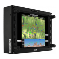
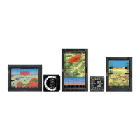
Provides detailed technical specifications for different LX system models.
Allows configuration of the main display unit and connected devices.
Settings for altitude datum and safety parameters affecting final glide calculation.
Details the built-in IGC-approved flight recorder for secure flight records.
Controls screen brightness and automatic adaptation using an ambient light sensor.
Manages waypoint, airspace, airport databases, and recorded flights.
Defines the visual appearance of the map and other graphical elements.
Configures audio settings, voice alerts, and alarm parameters for the vario unit.
Calculates optimized flown distance according to OLC or FAI rules.
Configures system warnings for airspace, altitude, FLARM, time, and waypoints.
Defines hardware properties like TE compensation, vario indicators, and FLARM settings.
Enters glider polar data and other glider properties for performance calculations.
Manages settings and layouts stored in profiles for different pilots or gliders.
Lists system passwords for accessing specific procedures like firmware updates.
Disables specific functionalities for normal users, managed by an administrator.
Displays GPS status, altitude, flight level, height, and FLARM status.
Lists all landable waypoints and airports, sortable by arrival altitude.
Displays statistical data for all stored flights, with options to copy or delete.
Shows thermal information and various flight statistics during the flight.
Details flight statistics, task statistics, and last 60 minutes statistics.
Displays detailed statistics for each task point and leg.
Shows statistics optimized for flight segments according to OLC rules.
Displays GPS status, local time, battery status, and map orientation.
Explains various methods for selecting an airport, including filter, ICAO, and map modes.
Allows editing existing waypoint details like latitude, longitude, and name.
Guides on adding new waypoints to the active waypoint file.
Allows creation and manipulation of tasks, including adding/editing points and time.
Saves a completed task to the active waypoint file.
Guides the user through the process of creating a new task.
Loads tasks from stored files or Soaring Spot (S.SPOT).
Manages the system's behavior when entering thermal conditions.
Allows customization of symbols and their positions on navigational pages.
Describes the functions assigned to various buttons for map interaction and system control.
Explains navboxes as numerical display elements for selected data types.
Displays predicted arrival altitude and position relative to the glide path.
Configures global styles and properties for navigational pages.
Crucial setting for final glide calculation, affecting elevation and pressure.
Advises on task preparation before takeoff to avoid errors.
Guides on how to start a task, including zone entry and task start messages.
Details the steps to follow after landing for proper system shutdown and data saving.
Guides on how to update the firmware for the main display unit using SD card or Wi-Fi.
Instructions for updating firmware for vario units and indicators.
Outlines the procedure for recalibrating the IGC barograph sensor for altitude recording.
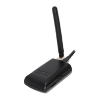
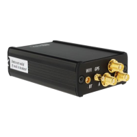
Covers the installation and configuration of the FLARM collision avoidance system.
| Memory | 8 GB |
|---|---|
| Channels | 72 |
| Display Size | 7 inch |
| Display Type | Color LCD |
| GPS Receiver | 72-channel |
| Connectivity | USB |
| Protocols | NMEA |
| Operating Temperature | -20°C to +70°C |