2
The eXplorist GPS receiver is a handheld personal navigation
device that uses information from a constellation of GPS satellites
to compute your present position. In its simplest form, you select
a destination from the list of POI’s (Points of Interest) and the
eXplorist receiver will provide you with the information to arrive
at your destination.
Make sure that the battery has been installed as per the instructions
in the Read Me First document.
1. Compute your position...
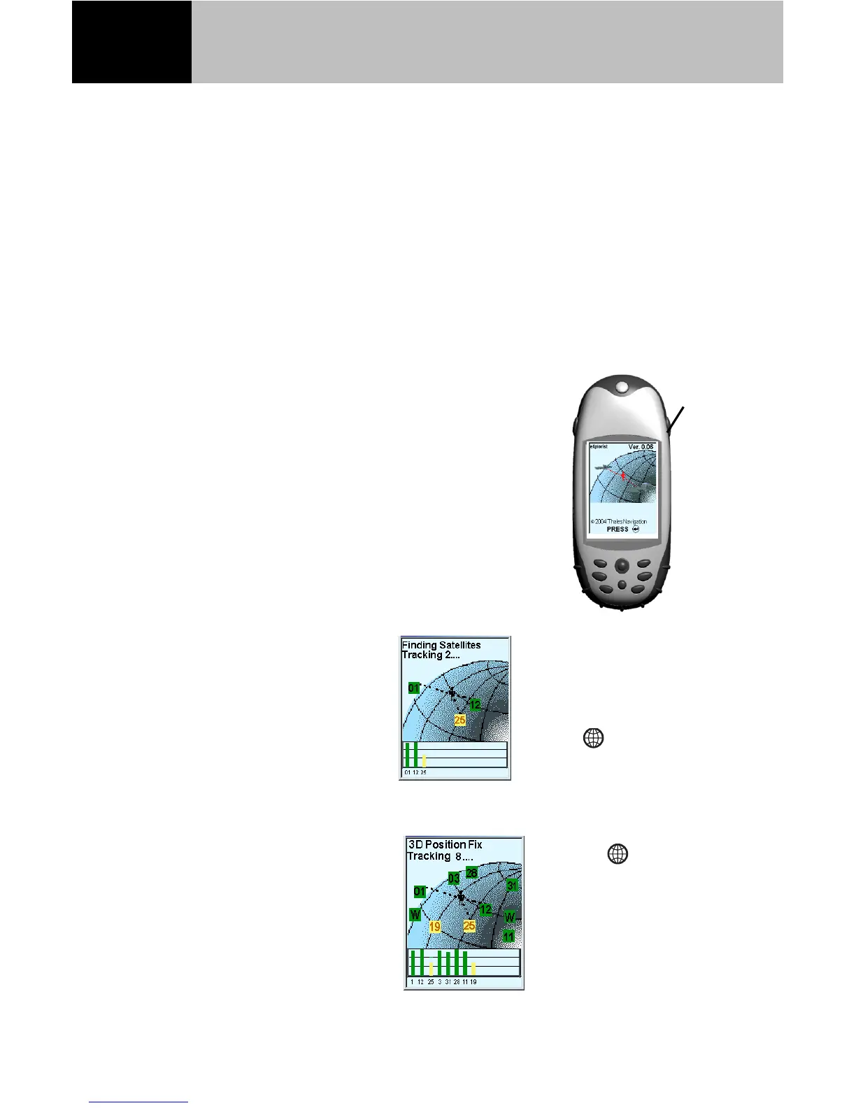
Turn the eXplorist on by pressing the
Power button, and then pressing Enter.
With a clear view of the sky, your eXplorist
receiver will begin tracking satellites and
computing your present position.
Press
Basic Operation
Your eXplorist begins
acquiring satellite
information and
computes your present
position.
When “Position Fix” is
displayed in the upper
left corner, you are
ready to select your
destination.
You can see the progress
of satellite data
collection by viewing
the Satellite Status
screen shown here.
Press Nav until this
screen is displayed.
Pressing Nav
button will allow you
to select the navigation
screen, (Map, Position
or Compass) that best
suits your needs.