J
Julie HammondAug 9, 2025
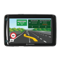
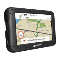
Why is my Navman GPS always showing 110 kph?
- TTanya SmithAug 9, 2025
The Navman GPS unit might be showing 110 kph because the units are set at a manual speed limit defaulted at 110 kph. You can change this through the 'Safety' section of your 'Settings' menu.