TURN YOUR DRONE IMAGES
AND GROUND CONTROL
DATA INTO 3D MAPS WITH
THE PROPELLER PLATFORM
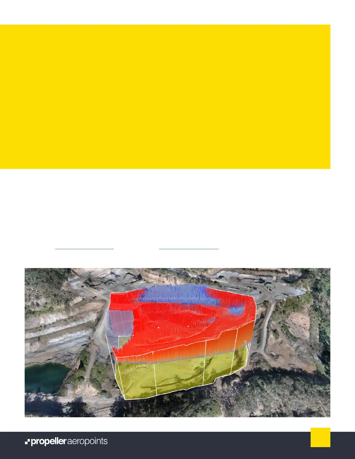
If you want more out of your AeroPoints data, Propeller’s cloud-based analysis and visualization
platform is the perfect solution.
With the purchase of a Propeller Platform software license, we’ll process your drone images
in24hours and integrate your corrected AeroPoints data to deliver accurate 3D site models.
Want to learn more? Find detailed articles on the drone image upload process and the Propeller
Platform at help.propelleraero.com or on our blog at propelleraero.com/blog.
12
AeroPoints User Manual