40
IconDescriptionAction
R
angeIn
Decreasestherange/distance
displayedonscreen.
RangeOut
Increasestherange/distance
displayedonscreen.
Chartrangingandpanning
Y oucanchangetherangedisplayedintheChartappusingthe
onscreenRangecontrolsorbyusingthepinch-to-zoommulti-touch
gesture.
Y oucanpanthechartareabyswipingyourfingeracrossthechart.
Selectingachartcard
Y oucanuseLightHouse™chartsandcompatibleNavionicsandC-MAP
electroniccharts.Theelectronicchartcardsmustbeinsertedinto
theMFD’sMicroSDcardreader(orthecardreaderofanMFDonthe
samenetwork).
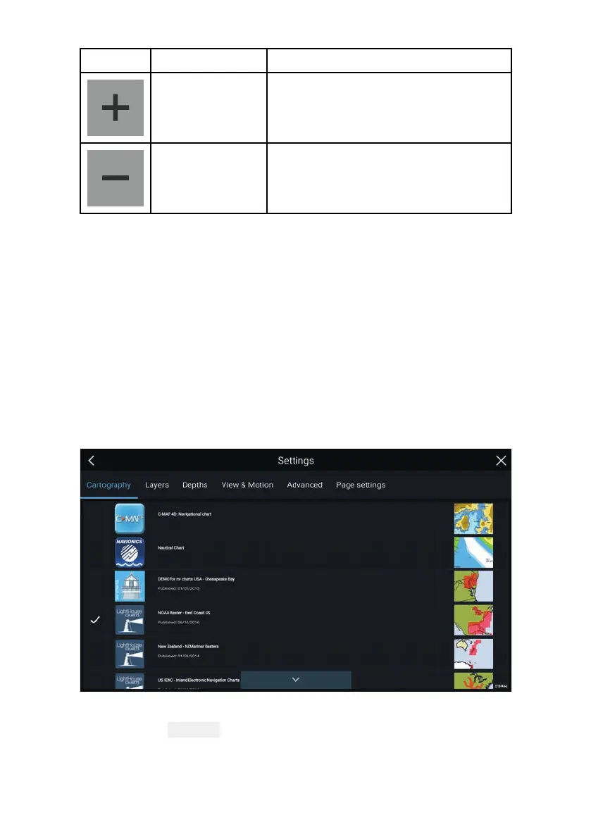
FromtheChartappmenu:
1.Selectthe
Settingsicon.
2.SelectthecartographythatyouwanttousefromtheCartography
tab.
 Loading...