41Trail Tech Voyager
Importing:
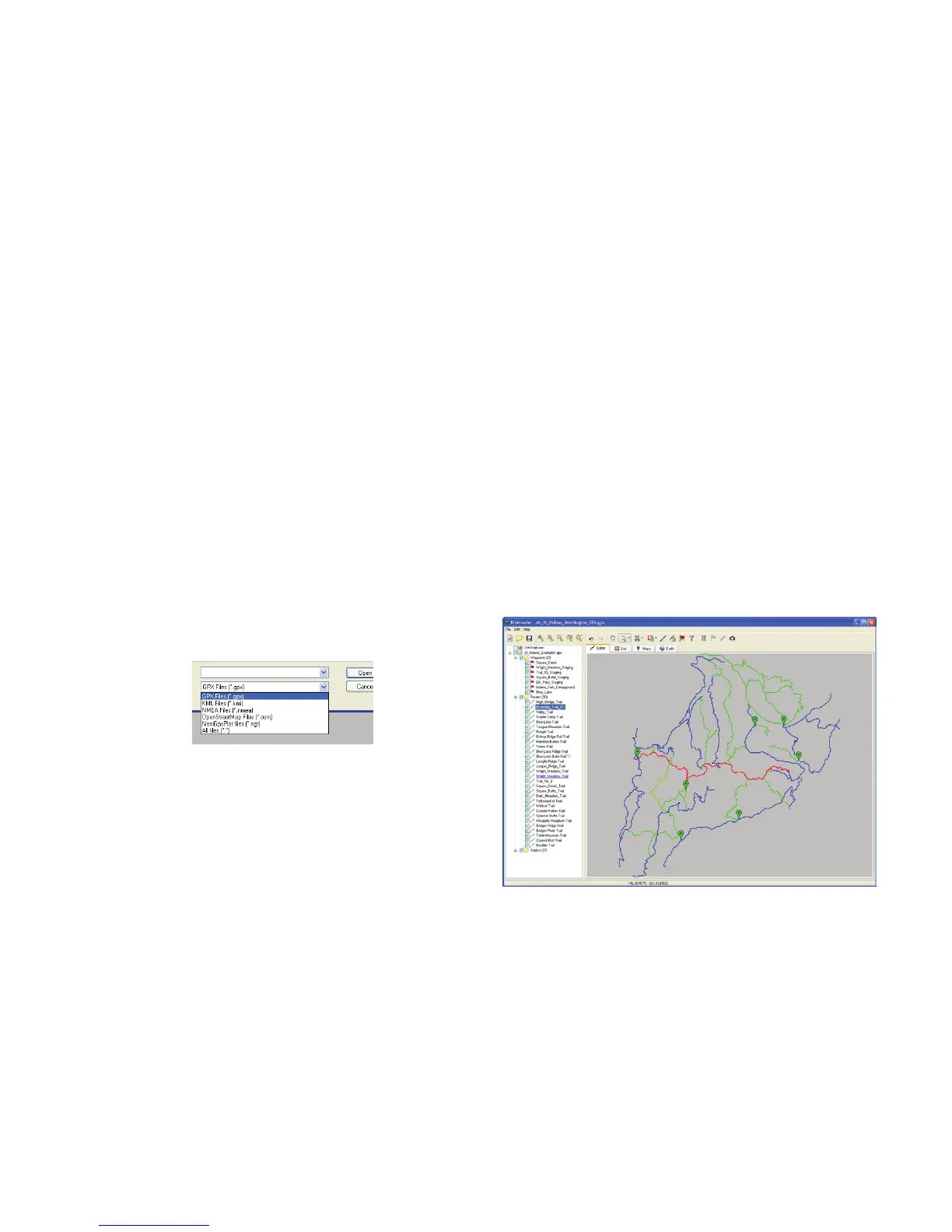
The GPX Editor does best with GPX les, but
will also import NMEA, NGT, OSM and KML
les. Open les from the File menu, or drag-
and-drop.
On the included CD, there is a folder with
example les. Open the sample GPX le.
A trail system will appear, with motorcycle trails
colored orange and roads colored blue. The
Imported Sample File
RideLeader GPS File Editor
By default, Voyager imports both tracks and
routes as greyed routes. You can change this
behavior so that tracks import as tracks in the
Voyager menu.
Importing:
The quickest way to get tracks is to use the
embedded OHVtrails.net feature. Make sure it is
checked on in the left trails panel, then go to the
Google Earth tab. If there are trails in your area,
you will see them with small trail icons. Click the
icon to move the trail into the local collection.
trails are orange because they are routes. They
will be imported into Voyager as grey lines,
ready to be ridden and overlaid with a bold
track. The roads are tracks, and will be imported
in Voyager as bold lines, so you can tell the
difference between a road and a trail.