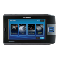
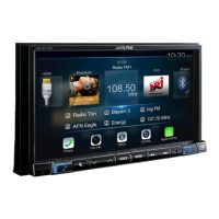
NVE-M300P Navigation Module Owner’s Manual
45
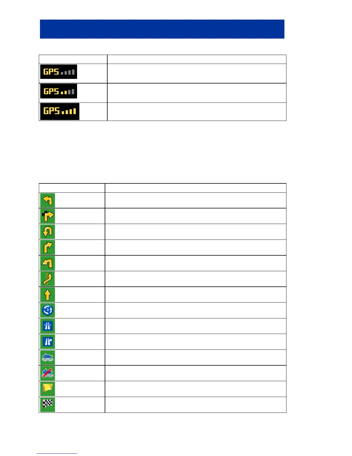
GPS reception quality shows the current accuracy of the position information.
Icon Description
Alpine Navigation Software is connected to the GPS receiver
signal is too weak and the receiver cannot determine the GPS position.
Only a few satellites are received.
elevation (altitude) cannot be calculated.
Altitude information is available, the position is a 3D position.
8.1.1.2 Next route event (Turn Preview field)
There is a field reserved on the Map screen to display the next manoeuvre (route events that are
listed in the Turn List). Both the type of the event (turn, roundabout, exiting motorway, etc.) and its
distance from the current GPS position is displayed.
Most of these icons are very intuitive and you also know them as road signs. The following table lists
some of the frequently shown route events:
Icon Description
Turn left.
Turn right.
Turn back.
Bear right.
Turn sharp left.
Keep left.
Continue straight in the intersection.
Enter roundabout. The


 To Next Page