Rev 6 Sep/2005
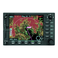
KMD 550/850 Quick Reference
5
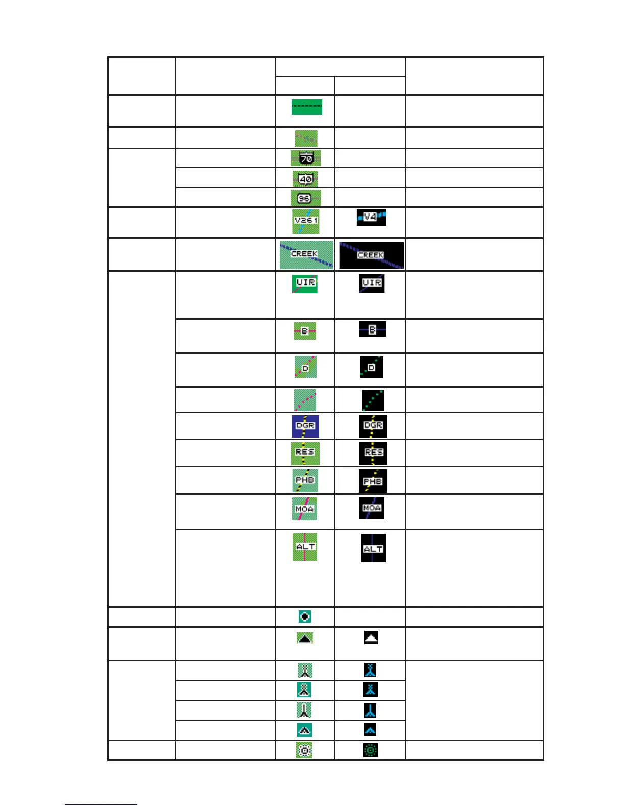
MAP ICONS
Feature Conditions Map Icons Other Characteristics
TOPO on TOPO off
Political
Boundary
Not displayed
Railway Not displayed
Roads Major Not displayed
Prime Not displayed
Other Not displayed
Victor
Airways
Heliroutes
Airspace
Boundary
FIR/UIR Boundary label will be FIR,
UIR, or F/U per airspace
type.
Class A/B/C Boundary label will be A, B,
or C per airspace type.
Class D/E/F/G Boundary label will be D, E,
F or G per airspace type.
Class Unknown
Danger Boundary label will be DGR.
Restricted Boundary label will be RES.
Prohibited Boundary label will be PHB.
MOA/MATZ Boundary label will be MOA
or MATZ per airspace type.
Other SUA (Radar
Area, Alert, Caution,
Training, Warning or
Unspecified/
Unknown)
Boundary label will be RAD,
ALT, CTN, TNG, or WNG.
No label for unknown or
unspecified.
Cities Not displayed
Intersections
(INTs)
Obstacles Lighted - Tall Label will indicate MSL ele-
vation followed by AGL ele-
vation in parentheses [e.g.
“1546 (590)”]. Tall is defined
as over 1,000 ft. AGL.
Lighted - Short
Lighted - Tall
Lighted - Short
NDBs