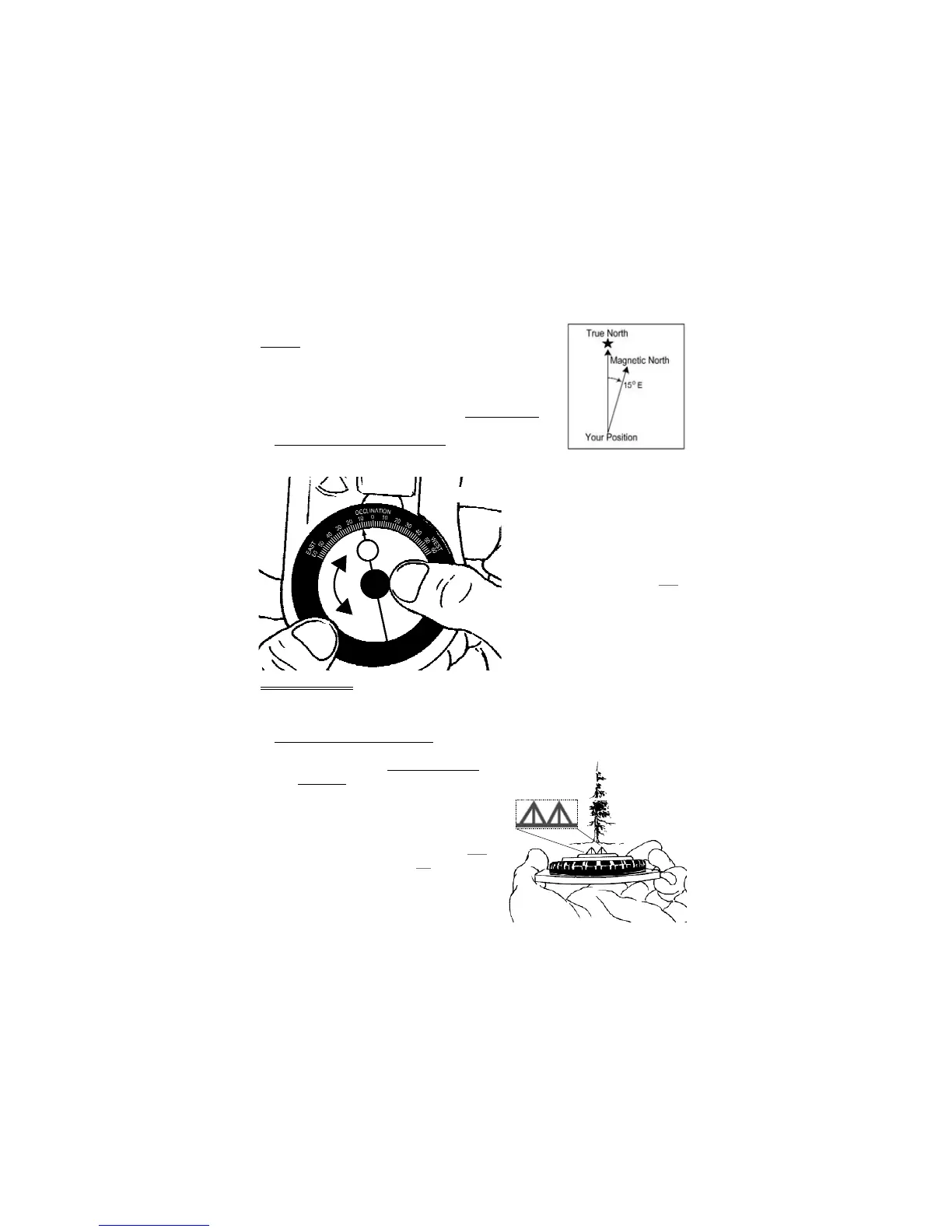
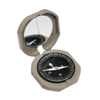
Example: If magnetic declination at your position is 15° east, then
magnetic north is 15° east of true geographic north. Figure 4 displays
true geographic north and magnetic north, as indicated in the legends
of USGS and BLM maps. Most maps use true north as a reference.
When adjustment for magnetic declination is complete, a bearing
measurement will be with respect to true north, same as the map
.
2.1 Magnetic Declination Adjustment
1. Find the magnetic declination at your current position from a
map or chart.
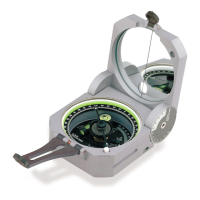
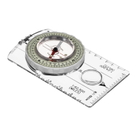
2. Locate declination scale on the bottom
of the azimuth ring. (Fig 5)
3. Grasp azimuth ring in one hand, and
the vial in the other. (Fig 5)
4. Hold azimuth ring stationary, and
rotate vial until the arrow on the blue
orienting circle points to the value
of magnetic declination, at your
position.
· Make sure declination is correct
(east or west).
3 – Field Bearing
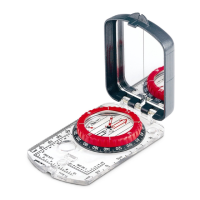
For the best accuracy, have a partner stand directly above the Eclipse 8097 and adjust the azimuth
ring, while you sight an object through the double prism.
3.1 Forward Sighting With Partner
1. Adjust 8097 for magnetic declination at your position.
· Refer to section 2.1, Magnetic Declination
Adjustment, for help.
2. Sight object between the double prism alignment
system. (Fig 6)
· To align the sight with center of the vial, make
sure all four triangles are the same size.
3. Have partner rotate azimuth ring until the blue
orienting circle surrounds the red circled "N".
(Fig 7)
4
Figure 4
Figure 6
Figure 5