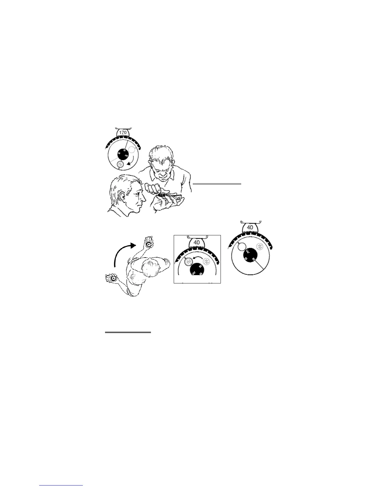
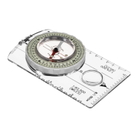
4. Read bearing -- 170°. (Fig 7)
To guarantee accuracy, switch with your partner
and have your partner re-sight the object. Both
bearings should be within 1° of each other.
You can sight a field bearing without a partner,
but the accuracy diminishes.
4 – Direction Of Travel
When field bearing to a destination is already
known, set compass to known field bearing,
sight bearing and travel to the destination. The
bearing you travel is known as the direction of
travel.
1. Adjust 8097 for magnetic declination.
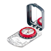
2. Rotate azimuth ring until set at known field bearing. (Fig 8)
3. Pivot your body until vial displays “circle over circle”. (Figs 9 & 10)
4. Sight distant object or destination at field bearing, and
travel to it.
Do not travel compass bearing by watching the compass. If final destination is too far away to
see, sight a tree, mountain or something else and walk to the object. At object, re-sight compass
bearing to another object. Repeat until final destination is reached.
5 -- Topographic Map
A topographic map (topo-map) is a 2-dimensional drawing of 3-dimensional terrain. Hills, valleys,
ridges, cliffs and other terrain are represented through a series of contour lines. Each line
represents constant elevation in meters or feet above sea level. Find the contour interval in the
legend of the topographic map.
5
Figure 7
Figure 8
Figure 9
Figure 10