The isogonic chart shows North America, only. Use an isogonic chart, or a current United States
Geological Survey (USGS), Bureau of Land Management (BLM), or another map to determine
magnetic declination at your position. Declination can be east, west or even 0°, from your current
position. At 0° declination, true north and magnetic north are aligned.
Example:
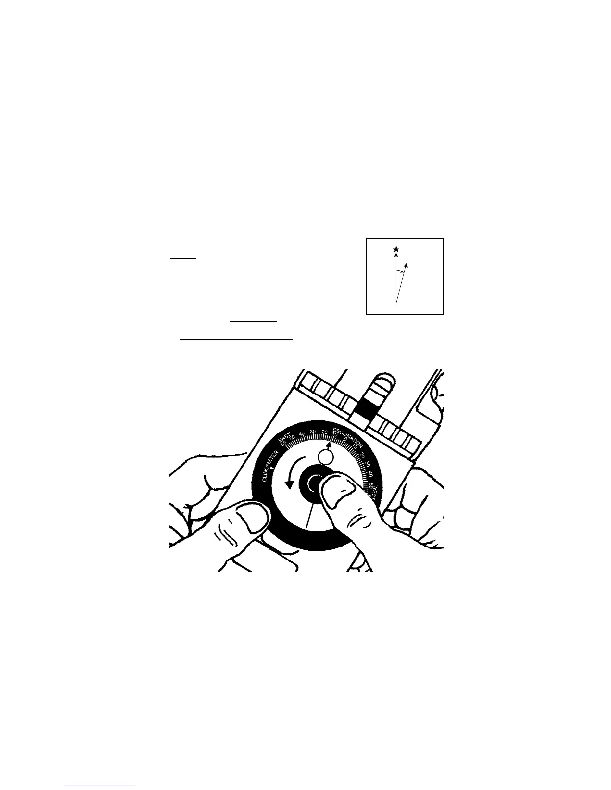
If magnetic declination at your position is 15° east, then
magnetic north is 15° east of true geographic north – Figure 5 displays
true geographic north and magnetic north, as indicated in the legends
of USGS and BLM maps.
Most maps use true north as a reference. When adjustment for mag-
netic declination is complete, a bearing measurement will be with
respect to true north, same as the map.
2.1 Magnetic Declination Adjustment
1. Find the magnetic declination at your current position, from a map or chart.
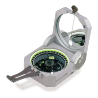
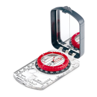
2. Remove rubber shoe, and open both covers.
3. Position the Eclipse 8099 with bottom of clear base facing you. (Fig 6)
Figue 5