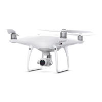
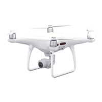
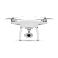
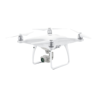
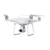
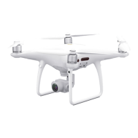
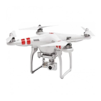
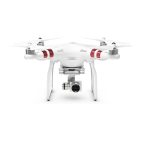
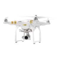
Purchase the DJI Phantom 4 RTK w/ RTK-2 Mobile Station Combo at www.tigersupplies.com.
Do images captured by the Phantom 4 RTK store altitude any information? If so, how is
this data stored? Elevation and relative altitude (relative to your takeoff point) are stored in
photos captured by the Phantom 4 RTK. Absolute altitude can be used for mapping, and
relative altitude can be found in the XMP file.
How can I capture oblique photography when using the Phantom 4 RTK? Oblique
imagery can be captured while flying in the Photogrammetry mode on the GS RTK app. In the
Photogrammetry mode, you can adjust gimbal angle from -90 °to -45° under Camera
Settings for your flight plan.You can only set one gimbal angle value at a time, so for sites
where you want to capture multiple angles you can plan the same mission and just adjust the
camera angle.
Can I create a 3D model or point cloud with third-party software using the images
captured by the Phantom 4 RTK? If yes, what is the accuracy of the model created? Yes,
you can use third-party software to process Phantom 4 RTK image data and create models,
however the accuracy will vary based on the photogrammetric algorithm used. Please refer to
the third-party software provider for more information on expected accuracy.
When there are no Ground Control Points (GCPs), what is the accuracy of the model that
the Phantom 4 RTK data can make? Can the accuracy meet the requirements of 1:500
scale aerial triangulation? The orthoimages created with the images captured by the
Phanton 4 RTK and select reconstruction software have shown an absolute accuracy of
roughly 5 cm, while the accuracy required in 1:500 scale aerial triangulation is less than 30
cm. This means the Phantom 4 RTK's accuracy meets the requirements of 1:500 scale aerial
maps.
Is the Phantom 4 RTK compatible with third-party base stations? No, you cannot connect
third-party base stations to the Phantom 4 RTK or the remote controller via a radio station.
However, you can obtain data from a network RTK server via Ntrip protocol in 4G/Wi-Fi
network environment. Satellite observation data can also be saved in the aircraft for users to
conduct post processed kinematics (PPK) to complete their tasks.
When I collect orthoimages with the Phantom 4 RTK, what may cause inaccuracies in
elevation? Possible causes include:
1. The GCP is set in a different coordinate system or height datum from that of the
Phantom 4 RTK’s position. Please make sure they are in the same coordinate system.
2. The Phantom 4 RTK’s RTK status is not “FIX”. Ensure that the RTK status is “FIX” when
collecting data.
3. The internal camera parameters used by the post processing software are not
accurate.
 Loading...


