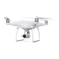
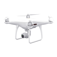
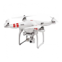
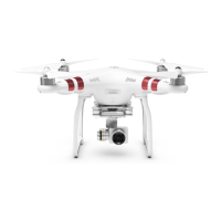
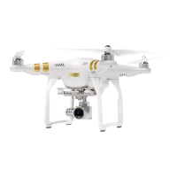
Purchase the DJI Phantom 4 RTK w/ RTK-2 Mobile Station Combo at www.tigersupplies.com.
In what scenarios can sloping flight paths be used? They are useful for scenarios involving
model elements such as hillsides and building facades. Sloping flight path planning
generates flight paths automatically for a sloping surface or facade, and successfully collects
the photogrammetric data.
What is the function of the plan view of the flight path when executing a sloping flight
path mission? During a sloping flight path mission, the app interface will display a image
transmission window, a map view window and a plan view window. The plan view window is
at the bottom-right corner of the interface. During a mission, it is able to display the flight
path from a perspective that is vertical to the plane, so as to assist in determining the area to
be mapped and positioning the aircraft.
What are “mission distance” and “mission altitude” in a sloping flight path mission?
“Mission distance” and “mission altitude” are both used to adjust the distance between the
flight plane and the plane between Points A, B and C. If the slope is steep or completely
vertical, you can select the mode of being perpendicular to the target plane, and adjust the
distance between the flight plane and the plane between Points A, B and C by setting the
“mission distance”; if the slope is relatively flat, you can use the mode of being perpendicular
to the horizontal plane, and adjust the distance between the flight plane and the plane
between Points A, B and C by setting the “mission altitude.”
How do I ensure flight safety when planning a sloping flight path? When planning the
waypoints for a flight path over the sloping plane between Points A, B and C, pay attention to
the area to be mapped based on the default expanded distance from Point C, and ensure
there are no flight safety hazards within the default expanded area.
What formats of differential data does the Phantom 4 RTK support? Currently the
Phantom 4 RTK supports RTCM 3.0 data, RTCM 3.1 data, MSM4,MSM5, MSM6 and MSM7
data under RTCM3.2.
Are the coordinates measured by the Phantom 4 RTK relative coordinates or absolute
coordinates? The coordinates measured by the Phantom 4 RTK are absolute coordinates
under WGS84.
How do I calculate an appropriate flight altitude based on a GSD value? You can refer to
the equation H=36.5*GSD to estimate an appropriate flight altitude. Please note that GSD
ground sampling distance in this equation is measured by centimeters, while H (Height or
flight altitude) is measured by meters. For example, GSD=2.74 cm, when altitude=100 m.
 Loading...


