Do you have a question about the Eagle Expedition II and is the answer not in the manual?
Explains GPS system, satellites, position fixes (2D/3D), and signal reception.
Details Selective Availability, its impact on accuracy, and the role of DGPS.
Provides advice on using the GPS as a navigation aid and carrying backup methods.
Covers power sources (AA, NiMH, external), battery types, and installation procedures.
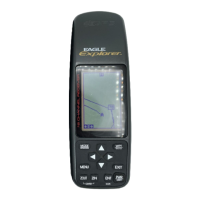
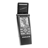
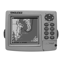
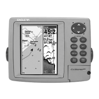
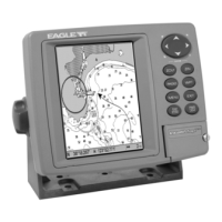
Explains the unit's keyboard layout, key functions, and menu system navigation.
Describes the power-on sequence and how to interpret the satellite status screen.
Details Quick and Full Initialization methods for accurate positioning.
Introduces the four main display modes: Status, Navigation, Plotter, and Windows.
Explains Nav screens, CDI, plotter basics, options, and trails.
Covers various data display configurations (Groups A-N) for navigation information.
Covers waypoint menu, saving, selecting, editing names, positions, and icons.
Instructions for navigating to saved waypoints or cursor locations.
Steps for creating, editing, and following routes composed of waypoints.
Configuration for backlight, sound, contrast, units of measure, and reset options.
Settings for NMEA output, DGPS configuration, and serial communication.
Includes position format, datums, PCF, position pinning, power save, and alarms.
Features for sunrise/sunset calculation and unit feature practice via simulator.
Glossary of terms/abbreviations and a reference list of geodetic datums.