Do you have a question about the Eagle CUDA 250 S/Map and is the answer not in the manual?
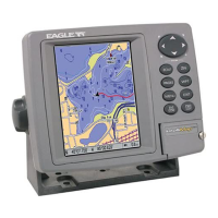
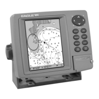
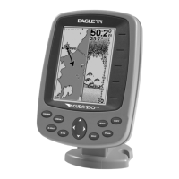
Details the general, sonar, and GPS capabilities and specifications of the Cuda 250 S/Map unit.
Explains the fundamental principles of sonar technology for fish finding and underwater detection.
Describes the basic operation of the GPS receiver, satellite signals, and position calculation.
Explains the typographical conventions used in the manual for clarity and ease of use.
Provides instructions for installing the Skimmer transducer on a transom, trolling motor, or inside a hull.
Compares shoot-thru-hull and transom mounting methods for transducers.
Details how to properly connect the unit to a 12-volt battery system for optimal performance.
Explains how to set up and use the unit in a portable configuration with optional power packs.
Identifies and explains the function of each key on the unit's keypad.
Guides users through accessing and navigating the Main Menu and Sonar Menu.
Provides a concise, step-by-step guide for basic sonar operation in common fishing situations.
Offers basic operational advice, focusing on adjusting sensitivity for optimal viewing.
Explains the ASP feature for noise rejection and improving display quality under various conditions.
Details the three types of sonar alarms: Fish, Zone, and Depth alarms.
Covers automatic and manual depth range settings for optimizing sonar display.
Explains the Fish I.D. feature for symbol identification and FishTrack for depth display.
Guides users on adjusting sensitivity levels in both auto and manual modes for better target detection.
Explains how to calibrate depth indicators for accurate readings relative to the boat's keel.
Describes the three Sonar chart display options: Full, Split Zoom, and Digital Data.
Details how to use the built-in simulator to practice unit operation without going on the water.
Explains how to use the ZIN and ZOUT keys for enlarging details and the Zoom Bar function.
Addresses problems related to the unit not turning on or operating in demo mode.
Helps diagnose issues like weak bottom echoes, erratic readings, or no fish signals.
Provides steps to identify and minimize electrical noise affecting sonar display.
Introduces GPS keyboard layout and how to turn the unit and backlight on/off.
Explains how to access the Main Menu and switch between different GPS pages.
Guides on how to find and acquire current position using GPS satellites.
Covers moving around the map using zoom and cursor keys.
Details methods for creating and saving waypoints at current position or by entering coordinates.
Explains how the unit automatically creates and records travel trails.
Guides on creating and saving routes by linking existing waypoints or map locations.
Explains how to measure distance from current position or between two points on the map.
Covers creating, selecting, and deleting icons on the map.
Guides on navigating to a selected icon's location on the map.
Details how to navigate a route forward or in reverse, including arrival alarms.
Explains methods for following trails: visual, forward navigation, and backtracking.
Covers deleting, editing names, symbols, and positions of waypoints.
Explains how to set and manage GPS alarms such as arrival, off-course, and anchor alarms.
Describes the process of acquiring satellite signals and the auto search function.
Allows selection of display formats for position coordinates like degrees or UTM.
Covers configuring map fix and selecting map datums for accurate positioning.
Explains how to set map orientation to North Up, Track Up, or Course Up.
Details how to customize displayed data like depth, speed, and temperature on various pages.
Allows resetting all unit features, options, and settings to factory defaults.
Guides on adjusting the display's contrast and brightness levels.
Enables setting preferred units for speed, distance, depth, temperature, altitude, and heading.
| Type | Handheld GPS |
|---|---|
| Waypoints | 500 |
| Routes | 20 |
| Battery | 2 AA batteries |
| Waterproof | IPX7 |
| Display | Color |
| GPS Receiver | 12-channel |
| Expansion Slot | No |