Do you have a question about the Eagle IntelliMap 642C iGPS and is the answer not in the manual?
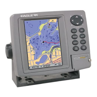
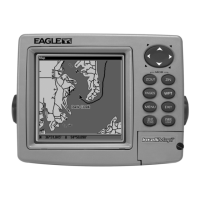
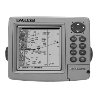
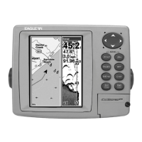
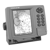
Details the physical and technical specifications of the IntelliMap 642c GPS receiver.
Explains the Global Positioning System (GPS) and Wide Area Augmentation System (WAAS) principles.
Explains typographical conventions, commands, and menu sequences used in the manual.
Guides on preparing for installation and connecting the GPS unit to a power source.
Details NMEA wiring, bracket installation, and optional mounting systems.
Instructions for installing MMC or SD cards for data storage and map loading.
Explains unit keys, power functions, and main menu access.
Introduces display pages and compares map data sources for detailed navigation.
Covers distance measurement, icons, map navigation, and cursor interaction.
Details route and trail planning, editing, saving, and navigation.
Explains system utilities and comprehensive waypoint management.
Configuration options for arrival, off-course, and anchor alarms.
Manages MMC files, configures communication ports, and sets NMEA sentences.
Customizes map display, coordinate systems, map details, and orientation.
Adjusts display settings, language, time, sounds, and track smoothing.
Configures trail settings, menu transparency, and units of measure.
Step-by-step guide to searching for specific street addresses within the unit's database.
Search for points of interest, highway exits, and map features by name or proximity.
Instructions for searching for specific streets or street intersections.
Guides on searching for waypoints by name or nearest location.
Lists the various geodetic datums supported by the GPS unit for accurate positioning.
Details FCC regulations and compliance statements for the device's operation.
Outlines the terms and conditions for using the GPS databases included with the product.
Explains the limited warranty coverage, exclusions, and claim procedures for the GPS unit.
Provides contact information and procedures for obtaining technical support and service for the unit.
Information on how to order accessories and procedures for shipping the unit for repair.